|
search place name
|
||
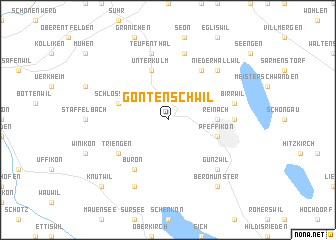
Gontenschwil (Switzerland)Gontenschwil is a town in Switzerland. An overview map of the region around Gontenschwil is displayed below.
regional and 3d topo map of Gontenschwil, Switzerland ::
Gontenschwil airports ::
The nearest airport is ZRH - Zurich, located 38.4 km north east of Gontenschwil.
Other airports nearby include MLH - Bale Mulhouse (58.0 km north west), BRN - Bern Belp (62.2 km south west), ZQL - Donaueschingen Villingen (83.8 km north), CMR - Colmar Houssen (110.3 km north west), Nearby towns ::
Reinach (3.8km east) //
Unterkulm (5.7km north) //
Schlossrued (4.2km north west) //
Pfeffikon (4.2km south east) //
Menziken (4.2km south east) //
Büron (6.1km south west) //
Leutwil (6.1km north east) //
Triengen (5.3km south west) //
Beinwil (5.0km east) //
Teufenthal (7.5km north) //
Dürrenäsch (7.5km north) //
Birrwil (5.4km east) //
Niederhallwil (6.7km north east) //
Boniswil (6.7km north east) //
Gunzwil (6.7km south east) //
Geuensee (7.8km south) //
Beromünster (8.3km south east) //
Knutwil (9.0km south west) //
[all distances 'as the bird flies' and approximate] 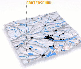 Places with similar names to Gontenschwil, Switzerland :: Disclaimer :: Information on this page comes without warranty of any kind |
||
|
Where is Gontenschwil? Elevation and coordinates ::
Latitude (lat): 47°16'0"N Longitude (lon): 8°8'0"E
Elevation (approx.): 666m (map arrows pan, magnifying glasses zoom) |
||
|
Visiting Gontenschwil? Hotel/Accommodation ::
Book a hotel in Gontenschwil Travel Guide ::
Buy a travel guide for Switzerland rental cars ::
car rental offers GPS waypoint ::
download a GPX waypoint (PoI) of Gontenschwil for your GPS receiver
|
||