|
search place name
|
||
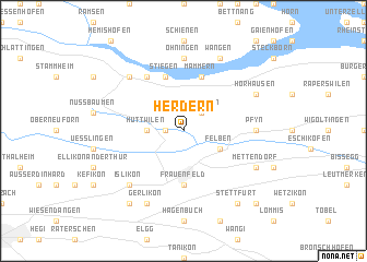
Herdern (Aargau, Switzerland)Herdern is a town in the Aargau region of Switzerland. An overview map of the region around Herdern is displayed below.
regional and 3d topo map of Herdern, Switzerland ::
Herdern airports ::
The nearest airport is ZRH - Zurich, located 30.4 km south west of Herdern.
Other airports nearby include FDH - Friedrichshafen (46.6 km east), ZQL - Donaueschingen Villingen (50.2 km north west), ACH - St Gallen Altenrhein (51.4 km east), MLH - Bale Mulhouse (103.0 km west), Nearby towns ::
Ittingen (1.2km west) //
Kalchrain (2.2km north east) //
Hüttwilen (2.5km west) //
Felben (3.1km south east) //
Frauenfeld (5.6km south) //
Stiegen (5.7km north) //
Mammern (5.7km north) //
Kattenhorn (5.7km north) //
Eschenz (6.1km north west) //
Öhningen (7.4km north) //
Pfyn (5.0km east) //
Stein am Rhein (6.7km north west) //
Wagenhausen (6.7km north west) //
Islikon (6.7km south west) //
Hörhausen (6.2km north east) //
Wangen (7.8km north) //
Gerlikon (7.8km south) //
Mettendorf (6.2km south east) //
Stettfurt (8.3km south east) //
Gachnang (8.3km south west) //
Thundorf (8.9km south east) //
[all distances 'as the bird flies' and approximate] 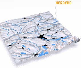 Places with similar names to Herdern, Switzerland ::
Disclaimer :: Information on this page comes without warranty of any kind |
||
|
Where is Herdern? Elevation and coordinates ::
Latitude (lat): 47°36'0"N Longitude (lon): 8°54'0"E
Elevation (approx.): 441m (map arrows pan, magnifying glasses zoom) |
||
|
Visiting Herdern? Hotel/Accommodation ::
Book a hotel in Herdern Travel Guide ::
Buy a travel guide for Switzerland rental cars ::
car rental offers GPS waypoint ::
download a GPX waypoint (PoI) of Herdern for your GPS receiver
|
||