|
search place name
|
||
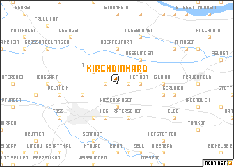
Kirchdinhard (Aargau, Switzerland)Kirchdinhard is a town in the Aargau region of Switzerland. An overview map of the region around Kirchdinhard is displayed below.
regional and 3d topo map of Kirchdinhard, Switzerland ::
Kirchdinhard airports ::
The nearest airport is ZRH - Zurich, located 20.0 km south west of Kirchdinhard.
Other airports nearby include ZQL - Donaueschingen Villingen (51.0 km north), FDH - Friedrichshafen (56.4 km east), ACH - St Gallen Altenrhein (59.0 km east), MLH - Bale Mulhouse (94.4 km west), Nearby towns ::
Dinhard (1.3km west) //
Ausserdinhard (1.3km west) //
Rickenbach (1.3km east) //
Elsau (3.7km south) //
Wiesendangen (3.7km south) //
Kefikon (2.5km east) //
Thalheim (3.1km north west) //
Ellikon an der Thur (3.1km north east) //
Uesslingen (4.5km north east) //
Oberneuforn (5.6km north) //
Hegi (5.7km south) //
Räterschen (5.7km south) //
Seuzach (4.2km south west) //
Winterthur (6.1km south west) //
Islikon (5.0km east) //
Gachnang (5.3km east) //
Nussbaumen (7.8km north) //
Ossingen (8.9km north west) //
[all distances 'as the bird flies' and approximate] 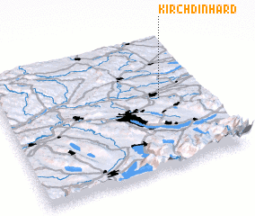 Places with similar names to Kirchdinhard, Switzerland :: Disclaimer :: Information on this page comes without warranty of any kind |
||
|
Where is Kirchdinhard? Elevation and coordinates ::
Latitude (lat): 47°33'0"N Longitude (lon): 8°47'0"E
Elevation (approx.): 417m (map arrows pan, magnifying glasses zoom) |
||
|
Visiting Kirchdinhard? Hotel/Accommodation ::
Book a hotel in Kirchdinhard Travel Guide ::
Buy a travel guide for Switzerland rental cars ::
car rental offers GPS waypoint ::
download a GPX waypoint (PoI) of Kirchdinhard for your GPS receiver
|
||