|
search place name
|
||
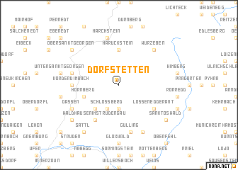
Dorfstetten (Niederösterreich, Austria)Dorfstetten is a town in the Niederösterreich region of Austria. An overview map of the region around Dorfstetten is displayed below.
regional and 3d topo map of Dorfstetten, Austria ::
Dorfstetten airports ::
The nearest airport is LNZ - Linz (Horsching), located 58.6 km west of Dorfstetten.
Other airports nearby include VIE - Vienna Schwechat (121.3 km east), GRZ - Graz (151.6 km south), BRQ - Turany (157.4 km north east), SZG - Salzburg (157.4 km west), Nearby towns ::
Handberg (3.7km south) //
Schlossberg (3.9km south) //
Ettenberg (4.5km south west) //
Haruckstein (5.6km north) //
Hornberg (4.1km south west) //
Waldhausen im Strudengau (6.1km south west) //
Lossenegger Amt (5.2km south east) //
Vorderdimbach (4.9km west) //
Marchstein (7.5km north) //
Gulling (7.5km south) //
Grosserlau (5.3km west) //
Wurzeben (6.7km north east) //
Fünfling (7.8km south) //
Gassen (6.2km south west) //
Sankt Oswald (7.4km south east) //
Dörfl (7.4km south west) //
Sattl (8.3km south west) //
Moosbach (8.3km south west) //
Ober Sankt Georgen (7.4km north west) //
Linden (7.4km north west) //
[all distances 'as the bird flies' and approximate] 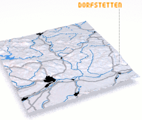 Places with similar names to Dorfstetten, Austria :: Disclaimer :: Information on this page comes without warranty of any kind |
||
|
Where is Dorfstetten? Elevation and coordinates ::
Latitude (lat): 48°19'0"N Longitude (lon): 14°58'0"E
Elevation (approx.): 849m (map arrows pan, magnifying glasses zoom) |
||
|
Visiting Dorfstetten? Hotel/Accommodation ::
Book a hotel in Dorfstetten Travel Guide ::
Buy a travel guide for Austria rental cars ::
car rental offers GPS waypoint ::
download a GPX waypoint (PoI) of Dorfstetten for your GPS receiver
|
||