|
search place name
|
||
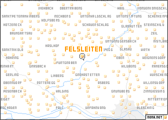
Felsleiten (Oberösterreich, Austria)Felsleiten is a town in the Oberösterreich region of Austria. An overview map of the region around Felsleiten is displayed below.
regional and 3d topo map of Felsleiten, Austria ::
Felsleiten airports ::
The nearest airport is LNZ - Linz (Horsching), located 21.1 km south of Felsleiten.
Other airports nearby include SZG - Salzburg (113.7 km south west), GRZ - Graz (184.0 km south east), PRG - Prague Ruzyne (186.7 km north), KLU - Klagenfurt (Worthersee Intl) (198.1 km south), Nearby towns ::
Berndorf (1.4km north east) //
Edt (2.0km south) //
Hofing (1.9km north west) //
Untergeng (2.0km east) //
Fürtner Siedlung (2.4km south west) //
Oberneukirchen (3.1km north) //
Staubgasse (2.4km south east) //
Reindlsedt (3.5km north) //
Hals (3.1km south west) //
Fürtgraben (3.0km south west) //
Lobenstein (3.6km north east) //
Neudorf (3.6km north west) //
Aschlberg (4.2km south) //
Buchholz (3.3km north west) //
Gramastetten (4.4km south) //
Galgenbühel (4.3km north) //
Neußerling (3.3km west) //
Stamering (3.3km west) //
Schiefegg (3.3km east) //
Obergeng (3.3km east) //
Mitterfeld (4.8km north) //
Königsdorf (4.7km north) //
Königsberg (5.1km north) //
Eidenberg (4.7km south east) //
Anger (4.7km south west) //
Wieshof (4.0km south west) //
Feldsdorf (4.0km south west) //
Schaffetschlag (5.3km north) //
Kreuzweg (5.3km south) //
[all distances 'as the bird flies' and approximate] 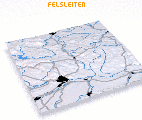 Places with similar names to Felsleiten, Austria :: Disclaimer :: Information on this page comes without warranty of any kind |
||
|
Where is Felsleiten? Elevation and coordinates ::
Latitude (lat): 48°25'21"N Longitude (lon): 14°12'30"E
Elevation (approx.): 637m (map arrows pan, magnifying glasses zoom) |
||
|
Visiting Felsleiten? Hotel/Accommodation ::
Book a hotel in Felsleiten Travel Guide ::
Buy a travel guide for Austria rental cars ::
car rental offers GPS waypoint ::
download a GPX waypoint (PoI) of Felsleiten for your GPS receiver
|
||