|
search place name
|
||
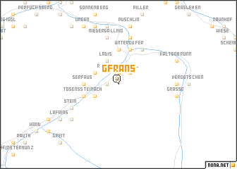
Gfrans (Tirol, Austria)Gfrans is a town in the Tirol region of Austria. An overview map of the region around Gfrans is displayed below.
regional and 3d topo map of Gfrans, Austria ::
Gfrans airports ::
The nearest airport is INN - Innsbruck, located 58.4 km north east of Gfrans.
Other airports nearby include SMV - Samedan (80.6 km south west), BZO - Bolzano (82.0 km south east), ACH - St Gallen Altenrhein (96.5 km north west), FDH - Friedrichshafen (111.5 km north west), Nearby towns ::
Ried im Oberinntal (1.9km north) //
Sankt Christina (1.3km west) //
Fendels (2.2km north east) //
Steinbrücken (3.1km south west) //
Fiss (3.1km north west) //
Ladis (3.9km north) //
Entbruck (5.6km north) //
Serfaus (3.8km west) //
Tösenssteinach (4.2km south west) //
Sankt Georgen (4.2km south west) //
Untergufer (5.7km north) //
Oberfaggen (5.7km north) //
Prutz (5.7km north) //
Unterfaggen (5.7km north) //
Kauns (6.1km north east) //
Aussergufer (7.5km north) //
Niedergallmig (7.5km north) //
Stein (6.3km south west) //
Eggele (7.5km south west) //
[all distances 'as the bird flies' and approximate] 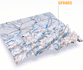 Places with similar names to Gfrans, Austria ::
// Cavernãis (PT)
// Kvernes (NO)
// Kvernnes (NO)
// Gavranići (BA)
// Gavranići (BA)
// Kafr Nāşiḩ (SY)
// Kafr Nāşiḩ (SY)
// Gouvernes (FR)
// Kafr Nīs (LB)
// Cavernes (FR)
Disclaimer :: Information on this page comes without warranty of any kind |
||
|
Where is Gfrans? Elevation and coordinates ::
Latitude (lat): 47°2'0"N Longitude (lon): 10°39'0"E
Elevation (approx.): 1313m (map arrows pan, magnifying glasses zoom) |
||
|
Visiting Gfrans? Hotel/Accommodation ::
Book a hotel in Gfrans Travel Guide ::
Buy a travel guide for Austria rental cars ::
car rental offers GPS waypoint ::
download a GPX waypoint (PoI) of Gfrans for your GPS receiver
|
||