|
search place name
|
||
Hundsdorf (Kärnten, Austria)Hundsdorf is a town in the Kärnten region of Austria. An overview map of the region around Hundsdorf is displayed below.
regional and 3d topo map of Hundsdorf, Austria ::

Hundsdorf airports ::
The nearest airport is KLU - Klagenfurt (Worthersee Intl), located 16.9 km north east of Hundsdorf.
Other airports nearby include LJU - Ljubliana Ljubljana (39.3 km south east), TRS - Ronchi De Legionari Ronchi Dei Legionari (95.7 km south west), GRZ - Graz (108.2 km north east), MBX - Maribor (114.6 km east), Nearby towns ::
Sankt Johann im Rosental (0.8km north east) //
Wellersdorf (1.1km north west) //
Muškava (1.1km north west) //
Velinja Ves (1.1km north west) //
Muschkau (1.1km north west) //
Sinach (1.5km south west) //
Wettersdorf (2.1km north west) //
Spodnja Vesca (1.9km north west) //
Niederdörfl (1.9km north west) //
Sankt Margarethen (2.6km north) //
Rabenberg (2.0km south east) //
Neusaß (2.8km north) //
Feistritz im Rosental (2.5km south west) //
Tschachoritsch (3.1km north east) //
Weizelsdorf (2.9km east) //
Oreinschnak (3.9km south) //
Tschrestal (4.1km north) //
Bilnjovs (2.9km west) //
Fellersdorf (2.9km west) //
Suetschach (3.0km west) //
Singerberg (3.1km east) //
Wurdach (4.4km north) //
Aunig (4.7km south) //
Bleiberger Graben (4.5km south) //
Moščenica (3.5km north west) //
Moschenitzen (3.5km north west) //
Sankt Gandolf (3.9km north east) //
Strugarji (4.9km south) //
Strugarjach (4.9km south) //
[all distances 'as the bird flies' and approximate] 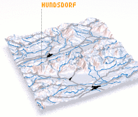 Places with similar names to Hundsdorf, Austria ::
Disclaimer :: Information on this page comes without warranty of any kind |
||
|
Where is Hundsdorf? Elevation and coordinates ::
Latitude (lat): 46°31'37"N Longitude (lon): 14°11'42"E
Elevation (approx.): 446m (map arrows pan, magnifying glasses zoom) |
||
|
Visiting Hundsdorf? Hotel/Accommodation ::
Book a hotel in Hundsdorf Travel Guide ::
Buy a travel guide for Austria rental cars ::
car rental offers GPS waypoint ::
download a GPX waypoint (PoI) of Hundsdorf for your GPS receiver
|
||