|
search place name
|
||
Cospuden (Sachsen, Germany)Cospuden is a town in the Sachsen region of Germany. An overview map of the region around Cospuden is displayed below.
regional and 3d topo map of Cospuden, Germany ::

Cospuden airports ::
The nearest airport is LEJ - Leipzig Halle, located 19.5 km north of Cospuden.
Other airports nearby include AOC - Altenburg Nobitz (33.9 km south), DRS - Dresden (101.3 km east), ERF - Erfurt (101.4 km west), HOQ - Hof Plauen (113.9 km south), Nearby towns ::
Lauer (1.9km north) //
Zöbigker (1.2km east) //
Knautkleeberg (2.2km north west) //
Prödel (2.2km south east) //
Leipzig (3.7km north) //
Knauthain (2.3km west) //
Hartmannsdorf (2.3km west) //
Großzschocher (3.9km north) //
Bösdorf (3.0km south west) //
Markkleeberg West (3.0km north east) //
Gautzsch (3.0km north east) //
Windorf (4.4km north west) //
Eythra (4.4km south west) //
Rehbach (3.5km west) //
Großstädteln (3.5km east) //
Oetzsch (3.9km north east) //
Zwenkau (5.7km south) //
Kotzschbar (5.7km south) //
Schleußig (5.7km north) //
Gaschwitz (3.9km south east) //
Kleinstädteln (3.9km south east) //
Kleinzschocher (6.0km north west) //
Probstdeuben (5.1km south east) //
Großdeuben (5.1km south east) //
Plagwitz (7.4km north) //
Crostewitz (4.6km east) //
Albersdorf (5.0km west) //
Knautnaundorf (5.0km west) //
Imnitz (7.5km south) //
[all distances 'as the bird flies' and approximate] 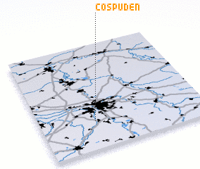
Disclaimer :: Information on this page comes without warranty of any kind |
||
|
Where is Cospuden? Elevation and coordinates ::
Latitude (lat): 51°16'0"N Longitude (lon): 12°20'0"E
Elevation (approx.): 106m (map arrows pan, magnifying glasses zoom) |
||
|
Visiting Cospuden? Hotel/Accommodation ::
Book a hotel in Cospuden Travel Guide ::
Buy a travel guide for Germany rental cars ::
car rental offers GPS waypoint ::
download a GPX waypoint (PoI) of Cospuden for your GPS receiver
|
||