|
search place name
|
||
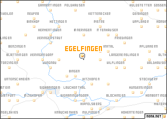
Egelfingen (Baden-Württemberg, Germany)Egelfingen is a town in the Baden-Württemberg region of Germany. An overview map of the region around Egelfingen is displayed below.
regional and 3d topo map of Egelfingen, Germany ::
Egelfingen airports ::
The nearest airport is FDH - Friedrichshafen, located 55.9 km south of Egelfingen.
Other airports nearby include ZQL - Donaueschingen Villingen (60.0 km west), STR - Stuttgart (60.2 km north), ACH - St Gallen Altenrhein (76.8 km south), ZRH - Zurich (94.0 km south west), Nearby towns ::
Billafingen (2.5km east) //
Bingen (3.9km south) //
Emerfeld (3.1km north east) //
Hornstein (4.5km south west) //
Hochberg (3.7km west) //
Inneringen (5.6km north) //
Hitzkofen (5.7km south) //
Warmtal (4.1km north east) //
Jungnau (5.3km west) //
Laucherthal (7.5km south) //
Wilflingen (5.3km east) //
Heudorf bei Mengen (6.7km south east) //
Ittenhausen (6.7km north east) //
Veringenstadt (6.2km north west) //
Pistre (7.8km north) //
Hermentingen (7.4km north west) //
Hettingen (8.3km north west) //
Dürrenwaldstetten (7.4km north east) //
Sigmaringen (8.9km south west) //
[all distances 'as the bird flies' and approximate] 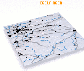 Places with similar names to Egelfingen, Germany :: Disclaimer :: Information on this page comes without warranty of any kind |
||
|
Where is Egelfingen? Elevation and coordinates ::
Latitude (lat): 48°9'0"N Longitude (lon): 9°17'0"E
Elevation (approx.): 747m (map arrows pan, magnifying glasses zoom) |
||
|
Visiting Egelfingen? Hotel/Accommodation ::
Book a hotel in Egelfingen Travel Guide ::
Buy a travel guide for Germany rental cars ::
car rental offers GPS waypoint ::
download a GPX waypoint (PoI) of Egelfingen for your GPS receiver
|
||