|
search place name
|
||
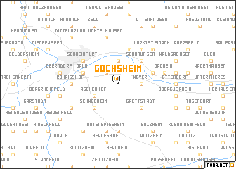
Gochsheim (Bayern, Germany)Gochsheim is a town in the Bayern region of Germany. An overview map of the region around Gochsheim is displayed below.
regional and 3d topo map of Gochsheim, Germany ::
Gochsheim airports ::
The nearest airport is GHF - Giebelstadt Aaf, located 46.9 km south west of Gochsheim.
Other airports nearby include NUE - Nuernberg Nurnberg (80.7 km south east), ZNF - Hanau Aaf (96.1 km west), BYU - Bayreuth (97.2 km east), HOQ - Hof Plauen (116.3 km east), Nearby towns ::
Sennfeld (2.2km north west) //
Reichelshof (3.7km north) //
Mainberg (3.7km north) //
Weyer (2.4km east) //
Aschenhof (3.0km south west) //
Schonungen (4.4km north east) //
Schwebheim (4.4km south west) //
Grettstadt (4.4km south east) //
Forst (4.0km north east) //
Grün (4.0km north west) //
Kaltenhof (5.7km north) //
Schweinfurt (5.1km north west) //
Hausen (6.0km north east) //
Röhrigshof (4.8km west) //
Oberspiesheim (7.4km south) //
Üchtelhausen (7.5km north) //
Gädheim (5.1km east) //
Unterspiesheim (7.5km south) //
Marktsteinach (6.6km north east) //
Röthlein (6.0km south west) //
Sulzheim (8.2km south east) //
Gernach (8.2km south west) //
Dittelbrunn (8.8km north west) //
[all distances 'as the bird flies' and approximate] 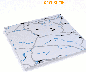
Disclaimer :: Information on this page comes without warranty of any kind |
||
|
Where is Gochsheim? Elevation and coordinates ::
Latitude (lat): 50°1'0"N Longitude (lon): 10°17'0"E
Elevation (approx.): 237m (map arrows pan, magnifying glasses zoom) |
||
|
Visiting Gochsheim? Hotel/Accommodation ::
Book a hotel in Gochsheim Travel Guide ::
Buy a travel guide for Germany rental cars ::
car rental offers GPS waypoint ::
download a GPX waypoint (PoI) of Gochsheim for your GPS receiver
|
||