|
search place name
|
||
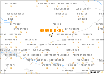
Heßwinkel (Thüringen, Germany)Heßwinkel is a town in the Thüringen region of Germany. An overview map of the region around Heßwinkel is displayed below.
regional and 3d topo map of Heßwinkel, Germany ::
Heßwinkel airports ::
The nearest airport is ERF - Erfurt, located 35.0 km east of Heßwinkel.
Other airports nearby include KSF - Kassel Calden (86.8 km north west), HOQ - Hof Plauen (128.4 km south east), LEJ - Leipzig Halle (131.7 km east), BWE - Braunschweig Wolfsburg (143.2 km north), Nearby towns ::
Hütscheroda (1.9km south) //
Wolfsbehringen (3.9km south) //
Craula (3.9km north) //
Großenbehringen (3.5km east) //
Ettenhausen (5.7km south) //
Melborn (5.7km south) //
Großenlupnitz (5.1km south west) //
Wenigenlupnitz (6.0km south west) //
Oesterbehringen (5.0km east) //
Hastrungsfeld (7.5km south) //
Hastrungsfeld-Burla (7.5km south) //
Reichenbach (5.0km east) //
Beuernfeld (5.0km west) //
Bolleroda (5.0km west) //
Ebenheim (6.6km south east) //
Burla (7.8km south) //
Weberstedt (7.8km north) //
Burbach (8.2km south west) //
Weingarten (7.3km south east) //
Haina (7.3km south east) //
Eichrodt (8.8km south west) //
[all distances 'as the bird flies' and approximate] 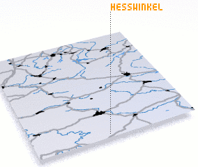 Places with similar names to Heßwinkel, Germany :: Disclaimer :: Information on this page comes without warranty of any kind |
||
|
Where is Heßwinkel? Elevation and coordinates ::
Latitude (lat): 51°2'0"N Longitude (lon): 10°28'0"E
Elevation (approx.): 337m (map arrows pan, magnifying glasses zoom) |
||
|
Visiting Heßwinkel? Hotel/Accommodation ::
Book a hotel in Heßwinkel Travel Guide ::
Buy a travel guide for Germany rental cars ::
car rental offers GPS waypoint ::
download a GPX waypoint (PoI) of Heßwinkel for your GPS receiver
|
||