|
search place name
|
||
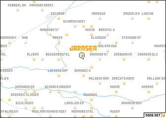
Jarnsen (Niedersachsen, Germany)Jarnsen is a town in the Niedersachsen region of Germany. An overview map of the region around Jarnsen is displayed below.
regional and 3d topo map of Jarnsen, Germany ::
Jarnsen airports ::
The nearest airport is ZCN - Celle, located 19.9 km west of Jarnsen.
Other airports nearby include BWE - Braunschweig Wolfsburg (40.7 km south east), HAJ - Hannover (46.7 km south west), XFW - Hamburg Finkenwerder (103.4 km north), HAM - Hamburg (111.1 km north), Nearby towns ::
Bunkenburg (2.2km south east) //
Luttern (2.2km north east) //
Ahnsbeck (3.7km south) //
Hohnhorst (2.2km east) //
Eldingen (4.3km north east) //
Beedenbostel (3.4km west) //
Wohlenrode (3.8km north east) //
Heese (5.7km north) //
Helmerkamp (6.0km south) //
Lachendorf (5.0km south west) //
Höfer (5.0km north west) //
Am Aschenberg (6.0km north) //
Kragen (7.4km north) //
Nordburg (7.5km south) //
Scharnhorst (7.5km north) //
Endeholz (7.5km north) //
Bargfeld (6.5km north east) //
Metzingen (5.8km north east) //
Schwachhausen (8.1km south west) //
Habighorst (7.1km north west) //
Habighorster Höhe (7.1km north west) //
Hohne (8.7km south east) //
Offensen (8.7km south west) //
[all distances 'as the bird flies' and approximate] 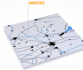 Places with similar names to Jarnsen, Germany ::
// Gîrniceni (RO)
Disclaimer :: Information on this page comes without warranty of any kind |
||
|
Where is Jarnsen? Elevation and coordinates ::
Latitude (lat): 52°39'0"N Longitude (lon): 10°18'0"E
Elevation (approx.): 57m (map arrows pan, magnifying glasses zoom) |
||
|
Visiting Jarnsen? Hotel/Accommodation ::
Book a hotel in Jarnsen Travel Guide ::
Buy a travel guide for Germany rental cars ::
car rental offers GPS waypoint ::
download a GPX waypoint (PoI) of Jarnsen for your GPS receiver
|
||