|
search place name
|
||
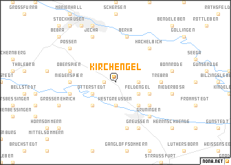
Kirchengel (Thüringen, Germany)Kirchengel is a town in the Thüringen region of Germany. An overview map of the region around Kirchengel is displayed below.
regional and 3d topo map of Kirchengel, Germany ::
Kirchengel airports ::
The nearest airport is ERF - Erfurt, located 33.9 km south of Kirchengel.
Other airports nearby include LEJ - Leipzig Halle (93.8 km east), KSF - Kassel Calden (108.1 km west), AOC - Altenburg Nobitz (116.2 km east), BWE - Braunschweig Wolfsburg (117.9 km north), Nearby towns ::
Westerengel (1.2km west) //
Holzengel (2.3km east) //
Westgreußen (3.7km south) //
Feldengel (3.0km south east) //
Otterstedt (3.0km south west) //
Obertopfstedt (4.4km south east) //
Wasserthaleben (4.4km south west) //
Topfstedt (3.9km south east) //
Niedertopfstedt (5.1km south east) //
Trebra (4.6km east) //
Niederspier (4.6km west) //
Clingen (7.5km south) //
Berka (7.5km north) //
Bliederstedt (5.0km west) //
Oberspier (5.0km west) //
Hachelbich (6.6km north east) //
Grüningen (6.6km south east) //
Greußen (7.8km south) //
Jecha (7.8km north) //
Possen (7.2km north west) //
[all distances 'as the bird flies' and approximate] 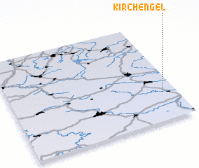 Places with similar names to Kirchengel, Germany ::
// Karashengelʼ (KZ)
Disclaimer :: Information on this page comes without warranty of any kind |
||
|
Where is Kirchengel? Elevation and coordinates ::
Latitude (lat): 51°17'0"N Longitude (lon): 10°55'0"E
Elevation (approx.): 319m (map arrows pan, magnifying glasses zoom) |
||
|
Visiting Kirchengel? Hotel/Accommodation ::
Book a hotel in Kirchengel Travel Guide ::
Buy a travel guide for Germany rental cars ::
car rental offers GPS waypoint ::
download a GPX waypoint (PoI) of Kirchengel for your GPS receiver
|
||