|
search place name
|
||
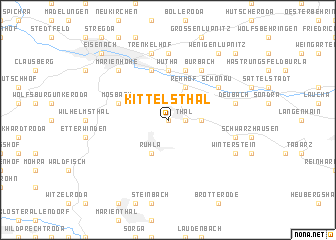
Kittelsthal (Thüringen, Germany)Kittelsthal is a town in the Thüringen region of Germany. An overview map of the region around Kittelsthal is displayed below.
regional and 3d topo map of Kittelsthal, Germany ::
Kittelsthal airports ::
The nearest airport is ERF - Erfurt, located 41.0 km east of Kittelsthal.
Other airports nearby include KSF - Kassel Calden (89.1 km north west), HOQ - Hof Plauen (125.4 km south east), ZNF - Hanau Aaf (130.7 km south west), BYU - Bayreuth (136.7 km south east), Nearby towns ::
Heiligenstein (0.0km north) //
Thal (1.2km east) //
Hucheroda (2.3km east) //
Seebach (2.3km east) //
Farnroda (3.9km north) //
Rehhof (3.9km north) //
Ruhla (3.9km south) //
Wutha (5.6km north) //
Rothenhof (5.7km north) //
Fischbach (5.7km north) //
Mosbach (4.0km north west) //
Eichrodt (5.7km north) //
Kahlenberg (5.1km north east) //
Schönau (5.1km north east) //
Burbach (6.0km north east) //
Stockhausen (7.4km north) //
Trenkelhof (7.5km north) //
Deubach (5.0km east) //
Schmerbach (5.0km east) //
Marienhöhe (6.6km north west) //
Winterstein (6.0km south east) //
Wenigenlupnitz (8.2km north east) //
Eisenach (8.8km north west) //
Melborn (8.8km north east) //
[all distances 'as the bird flies' and approximate] 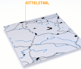 Places with similar names to Kittelsthal, Germany :: Disclaimer :: Information on this page comes without warranty of any kind |
||
|
Where is Kittelsthal? Elevation and coordinates ::
Latitude (lat): 50°55'0"N Longitude (lon): 10°23'0"E
Elevation (approx.): 407m (map arrows pan, magnifying glasses zoom) |
||
|
Visiting Kittelsthal? Hotel/Accommodation ::
Book a hotel in Kittelsthal Travel Guide ::
Buy a travel guide for Germany rental cars ::
car rental offers GPS waypoint ::
download a GPX waypoint (PoI) of Kittelsthal for your GPS receiver
|
||