|
search place name
|
||
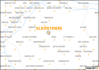
Klein Striepe (Niedersachsen, Germany)Klein Striepe is a town in the Niedersachsen region of Germany. An overview map of the region around Klein Striepe is displayed below.
regional and 3d topo map of Klein Striepe, Germany ::
Klein Striepe airports ::
The nearest airport is ENS - Enschede Twenthe, located 29.1 km south of Klein Striepe.
Other airports nearby include GRQ - Groningen Eelde (67.9 km north), FMO - Muenster/osnabrueck Munster Osnabruck (77.6 km south east), LWR - Leeuwarden (102.8 km north west), EME - Emden (102.8 km north), Nearby towns ::
Striepe (2.2km south west) //
Egge (2.2km south east) //
Wielen (3.9km north) //
Ratzel (2.9km north east) //
Bruinehaar (4.3km south west) //
Radewijk (5.6km north) //
Ebbenbroek (3.9km north west) //
Langeveen (5.7km south) //
Brink (3.9km south east) //
Vennebrügge (5.0km north west) //
Getelomoor (6.0km south) //
Bruchterveld (4.9km west) //
Kloosterhaar (4.9km west) //
Itterbeck (4.9km east) //
Venebrugge (7.2km north west) //
Hoogeweg (7.2km north west) //
Manderveen (8.1km south east) //
[all distances 'as the bird flies' and approximate] 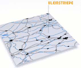 Places with similar names to Klein Striepe, Germany ::
// Glenstrup (DK)
Disclaimer :: Information on this page comes without warranty of any kind |
||
|
Where is Klein Striepe? Elevation and coordinates ::
Latitude (lat): 52°31'0"N Longitude (lon): 6°44'0"E
Elevation (approx.): 25m (map arrows pan, magnifying glasses zoom) |
||
|
Visiting Klein Striepe? Hotel/Accommodation ::
Book a hotel in Klein Striepe Travel Guide ::
Buy a travel guide for Germany rental cars ::
car rental offers GPS waypoint ::
download a GPX waypoint (PoI) of Klein Striepe for your GPS receiver
|
||