|
search place name
|
||
Kranepuhl (Brandenburg, Germany)Kranepuhl is a town in the Brandenburg region of Germany. An overview map of the region around Kranepuhl is displayed below.
regional and 3d topo map of Kranepuhl, Germany ::

Kranepuhl airports ::
The nearest airport is THF - Berlin Tempelhof, located 67.9 km north east of Kranepuhl.
Other airports nearby include TXL - Berlin Tegel (68.6 km north east), SXF - Berlin Schonefeld (69.3 km north east), LEJ - Leipzig Halle (78.7 km south), AOC - Altenburg Nobitz (124.6 km south), Nearby towns ::
Buchholz (3.7km south) //
Preußnitz (3.9km north) //
Kuhlowitz (3.9km north) //
Belzig (3.9km north) //
Lühnsdorf (2.9km south east) //
Dahnsdorf (3.4km east) //
Rädigke (5.7km south) //
Raben (6.0km south) //
Bergholz (4.6km west) //
Mörz (4.9km east) //
Lüsse (6.5km north east) //
Neuendorf (6.5km south east) //
Zixdorf (8.7km south east) //
Baitz (8.7km north east) //
[all distances 'as the bird flies' and approximate] 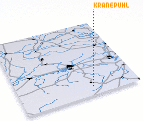 Places with similar names to Kranepuhl, Germany ::
// Grünpöhl (DE)
// Krahnepuhl (DE)
// Gorno Pole (BG)
// Gaurian Pail (IN)
// Kurenpola (LK)
// Karnplay (LR)
Disclaimer :: Information on this page comes without warranty of any kind |
||
|
Where is Kranepuhl? Elevation and coordinates ::
Latitude (lat): 52°6'0"N Longitude (lon): 12°37'0"E
Elevation (approx.): 95m (map arrows pan, magnifying glasses zoom) |
||
|
Visiting Kranepuhl? Hotel/Accommodation ::
Book a hotel in Kranepuhl Travel Guide ::
Buy a travel guide for Germany rental cars ::
car rental offers GPS waypoint ::
download a GPX waypoint (PoI) of Kranepuhl for your GPS receiver
|
||