|
search place name
|
||
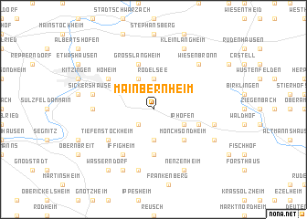
Mainbernheim (Bayern, Germany)Mainbernheim is a town in the Bayern region of Germany. An overview map of the region around Mainbernheim is displayed below.
regional and 3d topo map of Mainbernheim, Germany ::
Mainbernheim airports ::
The nearest airport is GHF - Giebelstadt Aaf, located 21.3 km west of Mainbernheim.
Other airports nearby include NUE - Nuernberg Nurnberg (63.2 km east), BYU - Bayreuth (104.8 km east), ZNF - Hanau Aaf (106.2 km north west), FRA - Frankfurt Main (128.0 km west), Nearby towns ::
Willanzheim (2.2km south west) //
Rödelsee (3.7km north) //
Herrnsheim (3.7km south) //
Fröhstockheim (3.9km north) //
Iphofen (3.0km south east) //
Mönchsondheim (4.4km south east) //
Hüttenheim (5.6km south) //
Großlangheim (5.7km north) //
Markt Einersheim (4.0km south east) //
Hoheim (5.2km north west) //
Tiefenstockheim (5.2km south west) //
Iffigheim (6.1km south west) //
Michelfeld (4.8km west) //
Sickershausen (5.1km west) //
Possenheim (5.1km east) //
Bullenheim (7.5km south) //
Wiesenbronn (6.6km north east) //
Kleinlangheim (7.8km north) //
Hellmitzheim (6.1km south east) //
Nenzenheim (7.8km south) //
Seinsheim (7.8km south) //
Wässerndorf (8.2km south west) //
[all distances 'as the bird flies' and approximate] 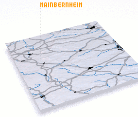 Places with similar names to Mainbernheim, Germany :: Disclaimer :: Information on this page comes without warranty of any kind |
||
|
Where is Mainbernheim? Elevation and coordinates ::
Latitude (lat): 49°42'0"N Longitude (lon): 10°15'0"E
Elevation (approx.): 257m (map arrows pan, magnifying glasses zoom) |
||
|
Visiting Mainbernheim? Hotel/Accommodation ::
Book a hotel in Mainbernheim Travel Guide ::
Buy a travel guide for Germany rental cars ::
car rental offers GPS waypoint ::
download a GPX waypoint (PoI) of Mainbernheim for your GPS receiver
|
||