|
search place name
|
||
Offenstetten (Bayern, Germany)Offenstetten is a town in the Bayern region of Germany. An overview map of the region around Offenstetten is displayed below.
regional and 3d topo map of Offenstetten, Germany ::

Offenstetten airports ::
The nearest airport is MUC - Munich Munchen, located 50.5 km south of Offenstetten.
Other airports nearby include FEL - Fuerstenfeldbruck Furstenfeldbruck (81.7 km south west), AGB - Augsburg (83.7 km south west), OBF - Oberpfaffenhofen (92.6 km south west), NUE - Nuernberg Nurnberg (99.4 km north west), Nearby towns ::
Ursbach (2.2km south east) //
Sallingberg (2.2km south east) //
Scheuern (2.2km north east) //
See (2.2km north west) //
Kirchdorf (3.7km south) //
Mantelkirchen (3.9km south) //
Unterschambach (3.9km north) //
Pickenbach (3.9km south) //
Bachl (3.1km north east) //
Mitterhörlbach (3.1km south west) //
Unterhörlbach (3.1km south west) //
Oberhörlbach (3.1km south west) //
Aicha (4.4km south west) //
Arnhofen (4.4km north west) //
Eschenhart (5.6km south) //
Allmersdorf (5.6km south) //
Biburg (3.7km west) //
Gaden (3.7km west) //
Buchhofen (5.6km north) //
Allhofen (5.7km south) //
Oberschambach (5.7km north) //
Jauchshofen (5.7km south) //
Oberteuerting (5.7km north) //
Rohr (5.2km south east) //
Högetsing (6.1km south east) //
Schwabbruck (5.2km south west) //
Perka (5.2km south west) //
Großmuß (5.2km north east) //
Einmuß (6.1km north east) //
[all distances 'as the bird flies' and approximate] 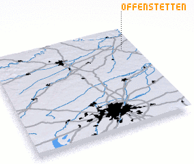 Places with similar names to Offenstetten, Germany :: Disclaimer :: Information on this page comes without warranty of any kind |
||
|
Where is Offenstetten? Elevation and coordinates ::
Latitude (lat): 48°48'0"N Longitude (lon): 11°55'0"E
Elevation (approx.): 407m (map arrows pan, magnifying glasses zoom) |
||
|
Visiting Offenstetten? Hotel/Accommodation ::
Book a hotel in Offenstetten Travel Guide ::
Buy a travel guide for Germany rental cars ::
car rental offers GPS waypoint ::
download a GPX waypoint (PoI) of Offenstetten for your GPS receiver
|
||