|
search place name
|
||
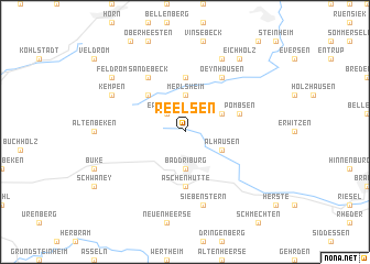
Reelsen (Nordrhein-Westfalen, Germany)Reelsen is a town in the Nordrhein-Westfalen region of Germany. An overview map of the region around Reelsen is displayed below.
regional and 3d topo map of Reelsen, Germany ::
Reelsen airports ::
The nearest airport is PAD - Paderborn Lippstadt, located 32.5 km south west of Reelsen.
Other airports nearby include KSF - Kassel Calden (47.1 km south east), GUT - Guetersloh Gutersloh (51.9 km west), ZCA - Arnsberg Menden (83.5 km west), HAJ - Hannover (89.8 km north east), Nearby towns ::
Erpentrup (2.2km north west) //
Langeland (2.2km north west) //
Merlsheim (3.7km north) //
Bad Driburg (3.7km south) //
Schönenberg (2.9km north east) //
Alhausen (2.9km south east) //
Grevenhagen (4.4km north west) //
Himmighausen (5.6km north) //
Aschenhütte (5.6km south) //
Pömbsen (3.9km north east) //
Oeynhausen (6.0km north) //
Sandebeck (6.0km north) //
Siebenstern (7.5km south) //
Bergheim (7.8km north) //
Kempen (5.9km north west) //
Eichholz (8.2km north east) //
Feldrom (7.2km north west) //
[all distances 'as the bird flies' and approximate] 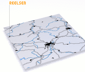 Places with similar names to Reelsen, Germany ::
Disclaimer :: Information on this page comes without warranty of any kind |
||
|
Where is Reelsen? Elevation and coordinates ::
Latitude (lat): 51°46'0"N Longitude (lon): 9°1'0"E
Elevation (approx.): 232m (map arrows pan, magnifying glasses zoom) |
||
|
Visiting Reelsen? Hotel/Accommodation ::
Book a hotel in Reelsen Travel Guide ::
Buy a travel guide for Germany rental cars ::
car rental offers GPS waypoint ::
download a GPX waypoint (PoI) of Reelsen for your GPS receiver
|
||