|
search place name
|
||
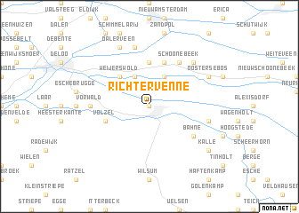
Richtervenne (Niedersachsen, Germany)Richtervenne is a town in the Niedersachsen region of Germany. An overview map of the region around Richtervenne is displayed below.
regional and 3d topo map of Richtervenne, Germany ::
Richtervenne airports ::
The nearest airport is ENS - Enschede Twenthe, located 38.6 km south of Richtervenne.
Other airports nearby include GRQ - Groningen Eelde (58.9 km north), FMO - Muenster/osnabrueck Munster Osnabruck (78.2 km south east), EME - Emden (89.8 km north), LWR - Leeuwarden (100.0 km north west), Nearby towns ::
Emlichheim (0.0km north) //
Vlieghuis (3.9km north) //
Emlichheimer Wösten (3.9km north) //
Weijerswold (4.3km north west) //
Padhuis (5.6km north) //
Westerse Bos (5.7km north) //
Volzel (3.9km south west) //
Echteler (3.9km south west) //
Schoonebeek (6.0km north) //
Bahne (5.0km south east) //
Vorwald (4.5km west) //
Stieltjeskanaal (7.5km north) //
Großringe (4.9km east) //
Kleinringe (4.9km east) //
Middendorp (6.5km north east) //
Dalerveen (7.7km north) //
Oosterse Bos (5.8km north east) //
Kalle (7.2km south east) //
[all distances 'as the bird flies' and approximate] 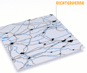 Places with similar names to Richtervenne, Germany :: Disclaimer :: Information on this page comes without warranty of any kind |
||
|
Where is Richtervenne? Elevation and coordinates ::
Latitude (lat): 52°37'0"N Longitude (lon): 6°51'0"E
Elevation (approx.): 17m (map arrows pan, magnifying glasses zoom) |
||
|
Visiting Richtervenne? Hotel/Accommodation ::
Book a hotel in Richtervenne Travel Guide ::
Buy a travel guide for Germany rental cars ::
car rental offers GPS waypoint ::
download a GPX waypoint (PoI) of Richtervenne for your GPS receiver
|
||