|
search place name
|
||
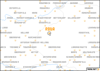
Roda (Hessen, Germany)Roda is a town in the Hessen region of Germany. An overview map of the region around Roda is displayed below.
regional and 3d topo map of Roda, Germany ::
Roda airports ::
The nearest airport is KSF - Kassel Calden, located 65.1 km north east of Roda.
Other airports nearby include PAD - Paderborn Lippstadt (72.8 km north), ZCA - Arnsberg Menden (83.5 km north west), ZNF - Hanau Aaf (89.8 km south), DTM - Dortmund (101.3 km north west), Nearby towns ::
Wiesenfeld (3.9km north) //
Ernsthausen (3.0km north west) //
Mellnau (3.9km south) //
Oberrosphe (5.7km south) //
Münchhausen (4.0km south west) //
Industriehof (5.7km north) //
Bottendorf (6.0km north east) //
Birkenbringhausen (6.0km north west) //
Obersimtshausen (6.0km south west) //
Schlagpfütze (6.0km south west) //
Simtshausen (6.0km south west) //
Untersimtshausen (6.0km south west) //
Mittelsimtshausen (6.0km south west) //
Haine (8.2km north west) //
Todenhausen (7.3km south west) //
Wetter (8.2km south west) //
[all distances 'as the bird flies' and approximate] 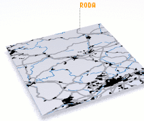 Places with similar names to Roda, Germany ::
Disclaimer :: Information on this page comes without warranty of any kind |
||
|
Where is Roda? Elevation and coordinates ::
Latitude (lat): 50°58'0"N Longitude (lon): 8°46'0"E
Elevation (approx.): 388m (map arrows pan, magnifying glasses zoom) |
||
|
Visiting Roda? Hotel/Accommodation ::
Book a hotel in Roda Travel Guide ::
Buy a travel guide for Germany rental cars ::
car rental offers GPS waypoint ::
download a GPX waypoint (PoI) of Roda for your GPS receiver
|
||