|
search place name
|
||
Sichtigvor (Nordrhein-Westfalen, Germany)Sichtigvor is a town in the Nordrhein-Westfalen region of Germany. An overview map of the region around Sichtigvor is displayed below.
regional and 3d topo map of Sichtigvor, Germany ::

Sichtigvor airports ::
The nearest airport is ZCA - Arnsberg Menden, located 26.7 km west of Sichtigvor.
Other airports nearby include PAD - Paderborn Lippstadt (27.3 km north east), DTM - Dortmund (46.8 km west), GUT - Guetersloh Gutersloh (48.9 km north), KSF - Kassel Calden (76.5 km east), Nearby towns ::
Mülheim (0.0km north) //
Berghof (1.2km west) //
Taubeneiche (1.9km north) //
Westendorf (2.3km west) //
Waldhausen (3.7km north) //
Echelnpöten (4.4km north west) //
Uelde (4.4km north east) //
Hirschberg (5.6km south) //
Belecke (3.5km east) //
Allagen (3.5km west) //
In der Bache (5.7km south) //
Altenmellrich (5.7km north) //
Oberbergheim (3.9km north west) //
Niederbergheim (4.6km west) //
Eickhoff (4.6km west) //
Waltringhausen (7.4km north) //
Mellrich (7.5km north) //
Brüllingsen (5.9km north west) //
Haarhöfe (5.9km north west) //
Herringserhöfe (7.2km north west) //
Herringsen (8.2km north west) //
[all distances 'as the bird flies' and approximate] 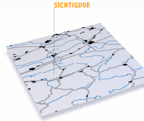 Places with similar names to Sichtigvor, Germany :: Disclaimer :: Information on this page comes without warranty of any kind |
||
|
Where is Sichtigvor? Elevation and coordinates ::
Latitude (lat): 51°29'0"N Longitude (lon): 8°17'0"E
Elevation (approx.): 293m (map arrows pan, magnifying glasses zoom) |
||
|
Visiting Sichtigvor? Hotel/Accommodation ::
Book a hotel in Sichtigvor Travel Guide ::
Buy a travel guide for Germany rental cars ::
car rental offers GPS waypoint ::
download a GPX waypoint (PoI) of Sichtigvor for your GPS receiver
|
||