|
search place name
|
||
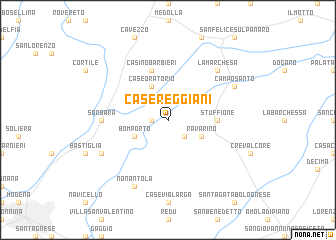
Case Reggiani (Italy)Case Reggiani is a town in Italy. An overview map of the region around Case Reggiani is displayed below.
regional and 3d topo map of Case Reggiani, Italy ::
Case Reggiani airports ::
The nearest airport is BLQ - Bologna, located 29.6 km south east of Case Reggiani.
Other airports nearby include PMF - Parma (61.5 km west), VRN - Villafranca (73.1 km north), QPA - Padova (94.5 km north east), VBS - Montichiari (95.1 km north west), Nearby towns ::
Caseificio (1.3km west) //
I Rami (2.3km south east) //
Ravarino (3.2km south east) //
Case Oratorio (3.9km north) //
Bomporto (3.2km south west) //
Stuffione (3.9km east) //
Casino Barbieri (5.7km north) //
Il Cristo (5.3km west) //
Sorbara (5.3km west) //
La Marchesa (6.8km north east) //
Camposanto (6.4km north east) //
Madonna di San Clemente (6.4km south west) //
Nonantola (7.9km south) //
[all distances 'as the bird flies' and approximate] 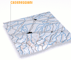 Places with similar names to Case Reggiani, Italy ::
// Gaisrücken (AT)
// Casa Rougna (IT)
// Kazarkino (RU)
// Kazarkino (RU)
// Gāzirgaon (BD)
// Kazirgaon (BD)
// Kāzirgaon (BD)
// Kāzirgaon (BD)
// Kāzirgaon (BD)
// Kāzirgaon (BD)
Disclaimer :: Information on this page comes without warranty of any kind |
||
|
Where is Case Reggiani? Elevation and coordinates ::
Latitude (lat): 44°45'0"N Longitude (lon): 11°4'0"E
Elevation (approx.): 19m (map arrows pan, magnifying glasses zoom) |
||
|
Visiting Case Reggiani? Hotel/Accommodation ::
Book a hotel in Case Reggiani Travel Guide ::
Buy a travel guide for Italy rental cars ::
car rental offers GPS waypoint ::
download a GPX waypoint (PoI) of Case Reggiani for your GPS receiver
|
||