|
search place name
|
||
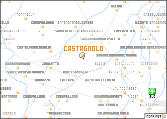
Castagnolo (Italy)Castagnolo is a town in Italy. An overview map of the region around Castagnolo is displayed below.
regional and 3d topo map of Castagnolo, Italy ::
Castagnolo airports ::
The nearest airport is BLQ - Bologna, located 13.1 km south east of Castagnolo.
Other airports nearby include PMF - Parma (72.1 km west), FRL - Forli (86.0 km south east), FLR - Firenze (87.9 km south), VRN - Villafranca (90.8 km north), Nearby towns ::
Budrie (3.2km south east) //
Ponte Samoggia (3.9km south) //
San Giovanni in Persiceto (4.5km north east) //
Amola di Piano (5.7km north) //
Fornace Mattioli (5.4km north east) //
San Benedetto (6.2km north west) //
Anzola dellʼEmilia (6.2km south east) //
Calcara (6.2km south west) //
San Giacomo di Martignone (5.3km east) //
SantʼAgata Bolognese (7.5km north) //
Zinaletto (5.6km west) //
Riolo (5.6km west) //
Madonna della Provvidenza (6.8km south west) //
[all distances 'as the bird flies' and approximate] 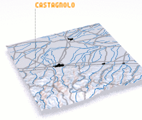 Places with similar names to Castagnolo, Italy ::
Disclaimer :: Information on this page comes without warranty of any kind |
||
|
Where is Castagnolo? Elevation and coordinates ::
Latitude (lat): 44°36'0"N Longitude (lon): 11°9'0"E
Elevation (approx.): 27m (map arrows pan, magnifying glasses zoom) |
||
|
Visiting Castagnolo? Hotel/Accommodation ::
Book a hotel in Castagnolo Travel Guide ::
Buy a travel guide for Italy rental cars ::
car rental offers GPS waypoint ::
download a GPX waypoint (PoI) of Castagnolo for your GPS receiver
|
||