|
search place name
|
||
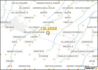
Colunga (Italy)Colunga is a town in Italy. An overview map of the region around Colunga is displayed below.
regional and 3d topo map of Colunga, Italy ::
Colunga airports ::
The nearest airport is BLQ - Bologna, located 16.1 km north west of Colunga.
Other airports nearby include FRL - Forli (56.8 km south east), FLR - Firenze (75.9 km south), PMF - Parma (101.0 km north west), RMI - Rimini (104.0 km south east), Nearby towns ::
Castenaso (3.7km north) //
Idice (2.6km west) //
Russo (3.2km north west) //
San Lazzaro di Savena (4.0km west) //
Il Ponte (4.0km east) //
Villanova (4.4km north west) //
La Mura (4.4km south west) //
Il Palazzone (6.2km south east) //
Marano (7.5km north) //
Tabellini (6.5km north east) //
Vigorso (7.9km north) //
Villa Poggiolo (6.5km south east) //
Farneto (6.5km south west) //
Quercioso (7.9km south) //
San Nicolò (7.7km south east) //
Quarto Inferiore (8.4km north west) //
Prato (7.7km north east) //
San Sisto (7.7km north west) //
Budrio (9.1km north east) //
Botteghino (9.1km south west) //
[all distances 'as the bird flies' and approximate] 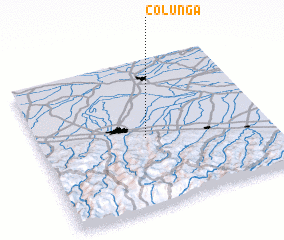 Places with similar names to Colunga, Italy ::
Disclaimer :: Information on this page comes without warranty of any kind |
||
|
Where is Colunga? Elevation and coordinates ::
Latitude (lat): 44°28'0"N Longitude (lon): 11°28'0"E
Elevation (approx.): 49m (map arrows pan, magnifying glasses zoom) |
||
|
Visiting Colunga? Hotel/Accommodation ::
Book a hotel in Colunga Travel Guide ::
Buy a travel guide for Italy rental cars ::
car rental offers GPS waypoint ::
download a GPX waypoint (PoI) of Colunga for your GPS receiver
|
||