|
search place name
|
||
Crocicchia (Italy)Crocicchia is a town in Italy. An overview map of the region around Crocicchia is displayed below.
regional and 3d topo map of Crocicchia, Italy ::

Crocicchia airports ::
The nearest airport is RMI - Rimini, located 35.6 km north of Crocicchia.
Other airports nearby include PEG - Perugia (67.8 km south), FRL - Forli (71.2 km north west), FLR - Firenze (115.7 km west), SAY - Siena Ampugnano (121.9 km south west), Nearby towns ::
Urbino (1.9km north) //
Villa Maria (3.7km north) //
San Cipriano (2.7km west) //
Maciolla (3.3km north west) //
Fermignano (3.9km south) //
Valdazzo (5.7km north) //
Il Palazzone (5.7km north) //
Pallino (7.5km north) //
San Silvestro (6.9km south west) //
Auditore (6.5km north west) //
Cavallino (7.9km north) //
La Torrazza (7.7km north east) //
Palazzo dei Maschi (9.1km north west) //
[all distances 'as the bird flies' and approximate] 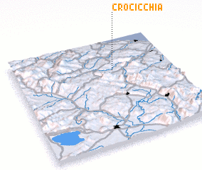 Places with similar names to Crocicchia, Italy ::
// Graschach (AT)
// Kraschach (AT)
// Crocicchie (IT)
// Crocicchio (IT)
// Garza-cocha (EC)
// Croes-Gôch (GB)
// Crocicchia (FR)
// Kurozakochō (JP)
// Curuzú Cuatiá (AR)
Disclaimer :: Information on this page comes without warranty of any kind |
||
|
Where is Crocicchia? Elevation and coordinates ::
Latitude (lat): 43°42'0"N Longitude (lon): 12°38'0"E
Elevation (approx.): 280m (map arrows pan, magnifying glasses zoom) |
||
|
Visiting Crocicchia? Hotel/Accommodation ::
Book a hotel in Crocicchia Travel Guide ::
Buy a travel guide for Italy rental cars ::
car rental offers GPS waypoint ::
download a GPX waypoint (PoI) of Crocicchia for your GPS receiver
|
||