|
search place name
|
||
Dunarobba (Italy)Dunarobba is a town in Italy. An overview map of the region around Dunarobba is displayed below.
regional and 3d topo map of Dunarobba, Italy ::

Dunarobba airports ::
The nearest airport is PEG - Perugia, located 48.0 km north of Dunarobba.
Other airports nearby include CIA - Rome Ciampino (97.1 km south), FCO - Rome Fiumicino (97.2 km south), GRS - Grosseto (113.4 km west), SAY - Siena Ampugnano (117.5 km north west), Nearby towns ::
Sismano (2.3km north west) //
Avigliano (2.3km south west) //
Collesecco (3.3km north east) //
Montecastrilli (3.3km south east) //
Pesciano (3.9km north) //
Rosaro (4.6km north east) //
Castel Todino (4.1km east) //
Montenero (5.7km north) //
Sobrano (7.5km north) //
Quadrelli (5.8km east) //
Collicello (6.9km south west) //
Casigliano (6.9km north east) //
Vasciano Vecchio (7.9km north) //
Vasciano Nuovo (7.9km north) //
Rosceto (7.9km north) //
Camerata (6.6km north west) //
Frattuccia (6.6km south west) //
Romazzano (9.2km north west) //
Montignano (9.2km north east) //
[all distances 'as the bird flies' and approximate] 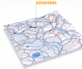 Places with similar names to Dunarobba, Italy ::
// Tainoraba (PG)
// Tanowrah(1) (AF)
Disclaimer :: Information on this page comes without warranty of any kind |
||
|
Where is Dunarobba? Elevation and coordinates ::
Latitude (lat): 42°40'0"N Longitude (lon): 12°27'0"E
Elevation (approx.): 438m (map arrows pan, magnifying glasses zoom) |
||
|
Visiting Dunarobba? Hotel/Accommodation ::
Book a hotel in Dunarobba Travel Guide ::
Buy a travel guide for Italy rental cars ::
car rental offers GPS waypoint ::
download a GPX waypoint (PoI) of Dunarobba for your GPS receiver
|
||