|
search place name
|
||
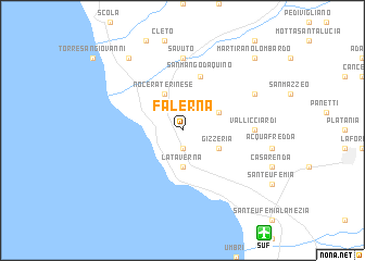
Falerna (Italy)Falerna is a town in Italy. An overview map of the region around Falerna is displayed below.
regional and 3d topo map of Falerna, Italy ::
Falerna airports ::
The nearest airport is SUF - Lamezia Terme, located 12.4 km south east of Falerna.
Other airports nearby include CRV - Crotone (79.1 km east), REG - Reggio Calabria (112.5 km south west), CTA - Catania Fontanarossa (195.6 km south west), TAR - Grottaglie (199.0 km north east), Nearby towns ::
Castiglione (1.9km south) //
La Taverna (3.7km south) //
Gizzeria (3.4km south east) //
San Cataldo (3.4km north east) //
Fronte Aguglieri (4.0km north) //
Nocera Terinese (4.0km north) //
San Mango dʼAquino (5.7km north) //
Vallicciardi (5.8km east) //
Savuto (7.4km north) //
Pietre Bianche (6.8km north east) //
Salice (8.6km north west) //
Martirano Lombardo (9.4km north east) //
[all distances 'as the bird flies' and approximate] 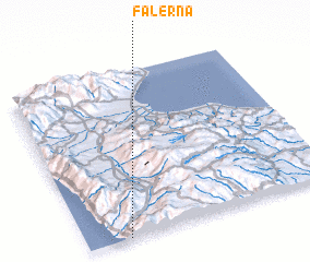 Places with similar names to Falerna, Italy ::
// Villa Arrién (BO)
// Fellern (AT)
// Vollern (AT)
// Florin (US)
// Flourney (US)
// Flournoy (US)
// Valley Run (US)
// Floren (DE)
// Fluorn (DE)
// Flüren (DE)
Disclaimer :: Information on this page comes without warranty of any kind |
||
|
Where is Falerna? Elevation and coordinates ::
Latitude (lat): 39°0'0"N Longitude (lon): 16°10'0"E
Elevation (approx.): 496m (map arrows pan, magnifying glasses zoom) |
||
|
Visiting Falerna? Hotel/Accommodation ::
Book a hotel in Falerna Travel Guide ::
Buy a travel guide for Italy rental cars ::
car rental offers GPS waypoint ::
download a GPX waypoint (PoI) of Falerna for your GPS receiver
|
||