|
search place name
|
||
Gaggio (Italy)Gaggio is a town in Italy. An overview map of the region around Gaggio is displayed below.
regional and 3d topo map of Gaggio, Italy ::

Gaggio airports ::
The nearest airport is BLQ - Bologna, located 25.4 km south east of Gaggio.
Other airports nearby include PMF - Parma (59.7 km west), VRN - Villafranca (85.2 km north), FLR - Firenze (92.9 km south), FRL - Forli (98.2 km south east), Nearby towns ::
Fossalta (1.3km west) //
Villa San Valentino (1.9km north) //
Navicello (3.9km north) //
Case Camillo (4.0km west) //
Pioppa (4.4km south east) //
Castelfranco Emilia (4.4km south east) //
San Bernardino (5.7km south) //
San Donnino della Nizzola (6.2km south west) //
Nonantola (6.2km north east) //
SantʼAgnese (5.3km west) //
Collegarola (5.6km west) //
Redù (5.6km east) //
San Cesario sul Panaro (7.9km south) //
Santa Maria di Mugnano (6.4km south west) //
Case Vialarga (6.4km north east) //
Portile (7.7km south west) //
[all distances 'as the bird flies' and approximate] 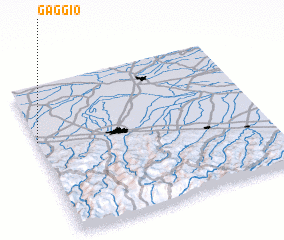 Places with similar names to Gaggio, Italy ::
Disclaimer :: Information on this page comes without warranty of any kind |
||
|
Where is Gaggio? Elevation and coordinates ::
Latitude (lat): 44°38'0"N Longitude (lon): 11°0'0"E
Elevation (approx.): 31m (map arrows pan, magnifying glasses zoom) |
||
|
Visiting Gaggio? Hotel/Accommodation ::
Book a hotel in Gaggio Travel Guide ::
Buy a travel guide for Italy rental cars ::
car rental offers GPS waypoint ::
download a GPX waypoint (PoI) of Gaggio for your GPS receiver
|
||