|
search place name
|
||
Il Poggio (Italy)Il Poggio is a town in Italy. An overview map of the region around Il Poggio is displayed below.
regional and 3d topo map of Il Poggio, Italy ::

Il Poggio airports ::
The nearest airport is FLR - Firenze, located 37.8 km south east of Il Poggio.
Other airports nearby include BLQ - Bologna (51.9 km north east), PSA - Pisa (68.5 km south west), FRL - Forli (86.0 km east), PMF - Parma (96.5 km north west), Nearby towns ::
Pian del Cerro (0.0km north) //
Lustrola (1.3km west) //
Taviano (1.9km south) //
Ponte della Venturina (2.3km north west) //
Casa Nova (3.7km north) //
Suviana (3.2km north east) //
Porretta Terme (3.9km north) //
Carpineta (3.2km south east) //
San Pellegrino al Cassero (4.6km south west) //
Molino del Pallone (4.4km south west) //
Castel di Casio (6.2km north east) //
Corvella (6.2km north west) //
Torri (6.2km south east) //
Fossato (5.4km south east) //
Castiglioni (7.4km south) //
Silla (7.5km north) //
Bargi (5.6km east) //
Stabiazoni (7.9km south) //
Chiapporato (6.5km south east) //
Carpineta (9.1km north east) //
[all distances 'as the bird flies' and approximate] 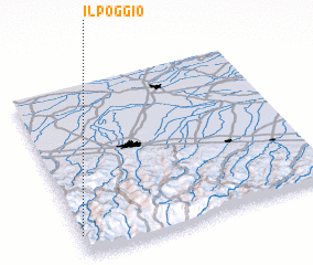
Disclaimer :: Information on this page comes without warranty of any kind |
||
|
Where is Il Poggio? Elevation and coordinates ::
Latitude (lat): 44°7'0"N Longitude (lon): 11°0'0"E
Elevation (approx.): 621m (map arrows pan, magnifying glasses zoom) |
||
|
Visiting Il Poggio? Hotel/Accommodation ::
Book a hotel in Il Poggio Travel Guide ::
Buy a travel guide for Italy rental cars ::
car rental offers GPS waypoint ::
download a GPX waypoint (PoI) of Il Poggio for your GPS receiver
|
||