|
search place name
|
||
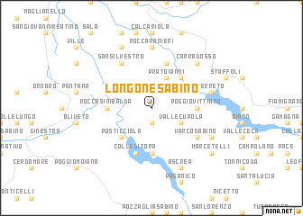
Longone Sabino (Italy)Longone Sabino is a town in Italy. An overview map of the region around Longone Sabino is displayed below.
regional and 3d topo map of Longone Sabino, Italy ::
Longone Sabino airports ::
The nearest airport is CIA - Rome Ciampino, located 60.3 km south west of Longone Sabino.
Other airports nearby include FCO - Rome Fiumicino (78.4 km south west), QLT - Latina (80.6 km south), PEG - Perugia (99.3 km north), PSR - Pescara (101.7 km east), Nearby towns ::
Vaccareccia (1.9km north) //
Stipes (1.9km south) //
Pratoianni (4.0km north) //
Vallecupola (3.3km south east) //
Offeio (4.6km north east) //
Posticciola (4.6km south west) //
Rocca Sinibalda (4.1km west) //
Poggio Vittiano (4.1km east) //
Castel di Tora (5.6km south) //
Concerviano (5.7km north) //
Colle di Tora (5.7km south) //
San Silvestro (6.2km north west) //
Varco Sabino (5.5km south east) //
Rocca Ranieri (7.4km north) //
Cerreto (5.8km east) //
Capradosso (6.9km north east) //
Fassinoro (7.9km north) //
Rigatti (6.6km south east) //
Ascrea (7.9km south) //
Marcetelli (7.8km south east) //
[all distances 'as the bird flies' and approximate] 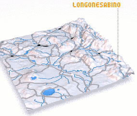 Places with similar names to Longone Sabino, Italy :: Disclaimer :: Information on this page comes without warranty of any kind |
||
|
Where is Longone Sabino? Elevation and coordinates ::
Latitude (lat): 42°16'0"N Longitude (lon): 12°58'0"E
Elevation (approx.): 800m (map arrows pan, magnifying glasses zoom) |
||
|
Visiting Longone Sabino? Hotel/Accommodation ::
Book a hotel in Longone Sabino Travel Guide ::
Buy a travel guide for Italy rental cars ::
car rental offers GPS waypoint ::
download a GPX waypoint (PoI) of Longone Sabino for your GPS receiver
|
||