|
search place name
|
||
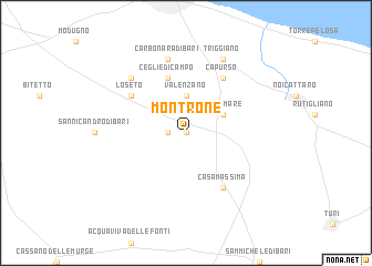
Montrone (Italy)Montrone is a town in Italy. An overview map of the region around Montrone is displayed below.
regional and 3d topo map of Montrone, Italy ::
Montrone airports ::
The nearest airport is BRI - Bari, located 18.6 km north west of Montrone.
Other airports nearby include TAR - Grottaglie (69.3 km south east), BDS - Brindisi Casale (97.4 km south east), FOG - Foggia Gino Lisa (122.9 km north west), LCC - Lecce (135.4 km south east), Nearby towns ::
Canneto di Bari (0.0km north) //
Adelfia (1.4km west) //
Valenzano (3.7km north) //
Cellamare (3.4km north east) //
Ceglie di Campo (5.7km north) //
Loseto (5.6km north west) //
Capurso (6.2km north east) //
Casamassima (6.2km south east) //
Carbonara di Bari (7.5km north) //
Bitritto (7.0km north west) //
Triggiano (7.9km north) //
[all distances 'as the bird flies' and approximate] 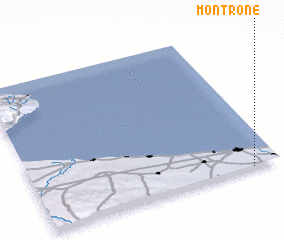 Places with similar names to Montrone, Italy ::
// Minturn (US)
// Minturn (US)
// Minturn (US)
// Mandarin (US)
// Mandern (DE)
// Monteriano (PA)
// Monterone (IT)
// Monódhrion (GR)
// Mondrón (ES)
// Mandrino (RU)
Disclaimer :: Information on this page comes without warranty of any kind |
||
|
Where is Montrone? Elevation and coordinates ::
Latitude (lat): 41°0'0"N Longitude (lon): 16°53'0"E
Elevation (approx.): 151m (map arrows pan, magnifying glasses zoom) |
||
|
Visiting Montrone? Hotel/Accommodation ::
Book a hotel in Montrone Travel Guide ::
Buy a travel guide for Italy rental cars ::
car rental offers GPS waypoint ::
download a GPX waypoint (PoI) of Montrone for your GPS receiver
|
||