|
search place name
|
||
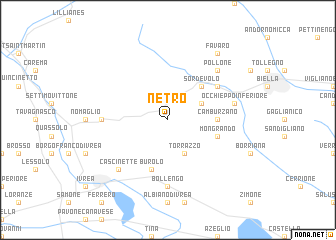
Netro (Italy)Netro is a town in Italy. An overview map of the region around Netro is displayed below.
regional and 3d topo map of Netro, Italy ::
Netro airports ::
The nearest airport is TRN - Torino, located 43.8 km south west of Netro.
Other airports nearby include MXP - Milano Malpensa (61.7 km east), SIR - Sion (90.3 km north west), LUG - Lugano (91.2 km north east), LIN - Milan Linate (104.2 km east), Nearby towns ::
Graglia (3.2km north east) //
Torrazzo (3.9km south) //
Sala Biellese (3.9km south) //
Sordevolo (4.5km north east) //
Camburzano (3.9km east) //
Mongrando (4.3km south east) //
Burolo (5.7km south) //
Occhieppo Superiore (5.4km north east) //
Bollengo (7.4km south) //
Andrate (5.2km west) //
Occhieppo Inferiore (5.5km east) //
Pollone (6.8km north east) //
Cascinette (6.8km south west) //
Favaro (8.4km north east) //
[all distances 'as the bird flies' and approximate] 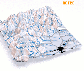 Places with similar names to Netro, Italy ::
Disclaimer :: Information on this page comes without warranty of any kind |
||
|
Where is Netro? Elevation and coordinates ::
Latitude (lat): 45°32'0"N Longitude (lon): 7°57'0"E
Elevation (approx.): 464m (map arrows pan, magnifying glasses zoom) |
||
|
Visiting Netro? Hotel/Accommodation ::
Book a hotel in Netro Travel Guide ::
Buy a travel guide for Italy rental cars ::
car rental offers GPS waypoint ::
download a GPX waypoint (PoI) of Netro for your GPS receiver
|
||