|
search place name
|
||
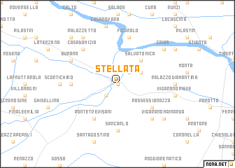
Stellata (Italy)Stellata is a town in Italy. An overview map of the region around Stellata is displayed below.
regional and 3d topo map of Stellata, Italy ::
Stellata airports ::
The nearest airport is BLQ - Bologna, located 40.0 km south of Stellata.
Other airports nearby include QPA - Padova (66.3 km north east), VRN - Villafranca (70.5 km north west), VIC - Vicenza (77.2 km north), PMF - Parma (88.8 km west), Nearby towns ::
Bondeno (0.0km north) //
Santa Bianca (2.3km south west) //
Ospitale (2.3km north east) //
Sette Polesini (3.2km north east) //
Salvatonica (4.5km north east) //
Possessionazza (5.4km south east) //
Ponte Trevisani (6.1km south west) //
San Carlo (7.4km south) //
Casa Alta (5.3km west) //
Ficarolo (7.5km north) //
Mirabello (6.8km south east) //
La Frattina (6.8km south east) //
Casa Domizia (6.8km north west) //
Burana (6.4km north west) //
Vigarano Mainarda (7.7km south east) //
Gaiba (7.6km north east) //
Palazzetto (8.4km north west) //
Il Bosco (9.1km north west) //
[all distances 'as the bird flies' and approximate] 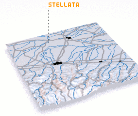 Places with similar names to Stellata, Italy ::
// Saïdlate (MA)
// Zaouit Louda (MA)
// Setlet (MM)
// Stalti (LV)
// Ştiuleţi (RO)
// Sidlaghatta (IN)
// Satélite (MX)
// Sotolito (MX)
// Stilte (NA)
// Sidi el Aïdi (MA)
Disclaimer :: Information on this page comes without warranty of any kind |
||
|
Where is Stellata? Elevation and coordinates ::
Latitude (lat): 44°53'0"N Longitude (lon): 11°25'0"E
Elevation (approx.): 10m (map arrows pan, magnifying glasses zoom) |
||
|
Visiting Stellata? Hotel/Accommodation ::
Book a hotel in Stellata Travel Guide ::
Buy a travel guide for Italy rental cars ::
car rental offers GPS waypoint ::
download a GPX waypoint (PoI) of Stellata for your GPS receiver
|
||