|
search place name
|
||
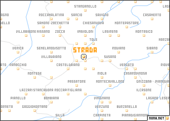
Strada (Italy)Strada is a town in Italy. An overview map of the region around Strada is displayed below.
regional and 3d topo map of Strada, Italy ::
Strada airports ::
The nearest airport is BLQ - Bologna, located 33.1 km north east of Strada.
Other airports nearby include FLR - Firenze (56.2 km south), PMF - Parma (82.6 km north west), FRL - Forli (83.6 km east), PSA - Pisa (85.6 km south west), Nearby towns ::
Torre Iussi (0.0km north) //
Sarzana (1.3km west) //
Roffeno Musiolo (1.9km south) //
Casigno (2.3km south east) //
Dragodena (3.7km north) //
Cereglio (2.7km east) //
Casa San Giacomo (3.9km north) //
Castel dʼAiano (3.2km south west) //
Tolè (3.9km north) //
Riola (4.6km south east) //
Susano (4.0km east) //
I Pavoloni (5.6km north) //
Passatore (5.7km south) //
Villa dʼAiano (5.3km west) //
Marano (7.4km south) //
Rosola (5.6km west) //
Semelano di Sotto (5.6km west) //
Rodiano (5.6km east) //
Chiesa Nuova (7.5km north) //
Montecavalloro (6.8km south east) //
La Sirena (6.8km north east) //
Zocca (6.8km north west) //
Sassomolare (6.5km south west) //
Rocca Pitigliana (7.9km south) //
La Cavanella (7.7km north east) //
Zocchetta (8.4km north west) //
[all distances 'as the bird flies' and approximate] 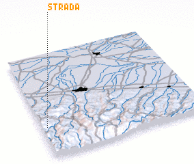 Places with similar names to Strada, Italy ::
// Start (RU)
// Staryye Atai (RU)
// Zaouia Taouert (MA)
// Zaouiat Ourti (MA)
// Sterrett (US)
// Strata (US)
// Stroud (US)
// Stuart (US)
// Strad (AT)
// Stuart (US)
Disclaimer :: Information on this page comes without warranty of any kind |
||
|
Where is Strada? Elevation and coordinates ::
Latitude (lat): 44°18'0"N Longitude (lon): 11°2'0"E
Elevation (approx.): 810m (map arrows pan, magnifying glasses zoom) |
||
|
Visiting Strada? Hotel/Accommodation ::
Book a hotel in Strada Travel Guide ::
Buy a travel guide for Italy rental cars ::
car rental offers GPS waypoint ::
download a GPX waypoint (PoI) of Strada for your GPS receiver
|
||