|
search place name
|
||
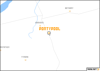
Pontypool (Ontario, Canada)Pontypool is a town in the Ontario region of Canada. An overview map of the region around Pontypool is displayed below.
regional and 3d topo map of Pontypool, Canada ::
Pontypool airports ::
The nearest airport is YPQ - Peterborough, located 26.0 km north east of Pontypool.
Other airports nearby include YKZ - Toronto Buttonville Muni (64.7 km south west), YZD - Toronto Downsview (77.7 km south west), YTZ - Toronto City Centre (80.7 km south west), YTR - Trenton (88.5 km east), Nearby towns ::
Manvers (4.6km north west) //
[all distances 'as the bird flies' and approximate] 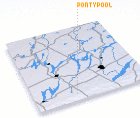 Places with similar names to Pontypool, Canada ::
// Poiana Ţapului (RO)
// Pindapulli (CL)
// Puente Palo (CO)
// Punte Palo (EC)
// Pundi Pail (IN)
// Point Pelee (CA)
// Pontypool (GB)
Disclaimer :: Information on this page comes without warranty of any kind |
||
|
Where is Pontypool? Elevation and coordinates ::
Latitude (lat): 44°6'0"N Longitude (lon): 78°38'0"W
Elevation (approx.): 341m (map arrows pan, magnifying glasses zoom) |
||
|
Visiting Pontypool? Hotel/Accommodation ::
Book a hotel in Pontypool Travel Guide ::
Buy a travel guide for Canada rental cars ::
car rental offers GPS waypoint ::
download a GPX waypoint (PoI) of Pontypool for your GPS receiver
|
||