|
search place name
|
||
Rosenfeld (Manitoba, Canada)Rosenfeld is a town in the Manitoba region of Canada. An overview map of the region around Rosenfeld is displayed below.
regional and 3d topo map of Rosenfeld, Canada ::

Rosenfeld airports ::
The nearest airport is YWG - Winnipeg Intl, located 82.1 km north of Rosenfeld.
Other airports nearby include YPG - Portage-la-prairie Southport (94.1 km north west), YAV - Winnipeg St Andrews (102.3 km north), GFK - Grand Forks Intl (141.8 km south), Nearby towns ::
[all distances 'as the bird flies' and approximate] 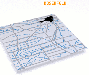 Places with similar names to Rosenfeld, Canada ::
// Rosenfeld (AT)
// Rosenfeld (DE)
// Rosenfeld (DE)
// Rosenfeld (DE)
// Rosenfelde (DE)
// Rosenfeld (US)
// Rosenfeld (DE)
// Rozenfel'd (RU)
Disclaimer :: Information on this page comes without warranty of any kind |
||
|
Where is Rosenfeld? Elevation and coordinates ::
Latitude (lat): 49°12'0"N Longitude (lon): 97°33'0"W
Elevation (approx.): 242m (map arrows pan, magnifying glasses zoom) |
||
|
Visiting Rosenfeld? Hotel/Accommodation ::
Book a hotel in Rosenfeld Travel Guide ::
Buy a travel guide for Canada rental cars ::
car rental offers GPS waypoint ::
download a GPX waypoint (PoI) of Rosenfeld for your GPS receiver
|
||