|
search place name
|
||
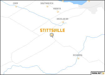
Stittsville (Ontario, Canada)Stittsville is a town in the Ontario region of Canada. An overview map of the region around Stittsville is displayed below.
regional and 3d topo map of Stittsville, Canada ::
Stittsville airports ::
The nearest airport is YOW - Ottawa Macdonald Cartier Intl, located 21.0 km north east of Stittsville.
Other airports nearby include YND - Gatineau (40.9 km north east), MSS - Massena Intl Richards Fld (91.3 km east), YMW - Maniwaki (113.8 km north), YGK - Kingston (126.0 km south west), Nearby towns ::
Hazeldean (6.1km north east) //
[all distances 'as the bird flies' and approximate] 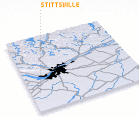 Places with similar names to Stittsville, Canada ::
// Statesville (US)
// Stottsville (US)
// Stittsville (US)
// Stoutsville (US)
// Statesville (US)
// Stoutsville (US)
// Stottsville (US)
// Statesville (US)
// Statesville (US)
Disclaimer :: Information on this page comes without warranty of any kind |
||
|
Where is Stittsville? Elevation and coordinates ::
Latitude (lat): 45°15'0"N Longitude (lon): 75°55'0"W
Elevation (approx.): 123m (map arrows pan, magnifying glasses zoom) |
||
|
Visiting Stittsville? Hotel/Accommodation ::
Book a hotel in Stittsville Travel Guide ::
Buy a travel guide for Canada rental cars ::
car rental offers GPS waypoint ::
download a GPX waypoint (PoI) of Stittsville for your GPS receiver
|
||