|
search place name
|
||
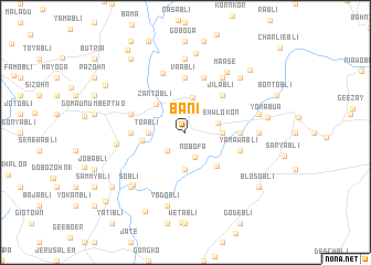
Bani (Grand Bassa, Liberia)Bani is a town in the Grand Bassa region of Liberia. An overview map of the region around Bani is displayed below.
regional and 3d topo map of Bani, Liberia ::
Bani airports ::
The nearest airport is ROB - Monrovia Roberts Intl, located 90.3 km north west of Bani.
Other airports nearby include MLW - Monrovia Spriggs Payne (133.0 km west), Nearby towns ::
Small Town (2.6km south west) //
Nobofa (2.7km south) //
Gbehwlokon (3.4km east) //
Chuwohnbli (3.6km north) //
Charlibli (3.7km east) //
Toabli (3.7km west) //
Blosobli (3.7km south) //
Bolabli (3.7km west) //
Zantobli (4.1km north west) //
James Sowee Town (4.4km west) //
Bonnie Town (4.7km south east) //
Jilabli (5.2km north east) //
Notibli (5.5km west) //
Sokohnbli (5.5km east) //
Vaabli (5.6km north) //
Gizi Town (5.8km west) //
Biabla (5.9km north) //
Yamawabli (5.8km east) //
Sammybli (6.4km north) //
Galubli (6.7km north east) //
Blalabli (7.0km west) //
Maase (7.4km north east) //
Siibli (7.4km east) //
Dahn (7.4km north) //
Nesau (7.4km north) //
Firestone (7.4km north) //
Blekehbli (7.5km south west) //
Sanogabli (7.6km east) //
Yodobli (7.6km south) //
[all distances 'as the bird flies' and approximate] 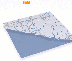 Places with similar names to Bani, Liberia ::
Disclaimer :: Information on this page comes without warranty of any kind |
||
|
Where is Bani? Elevation and coordinates ::
Latitude (lat): 5°52'0"N Longitude (lon): 9°38'0"W
Elevation (approx.): 79m (map arrows pan, magnifying glasses zoom) |
||
|
Visiting Bani? Hotel/Accommodation ::
Book a hotel in Bani Travel Guide ::
Buy a travel guide for Liberia rental cars ::
car rental offers GPS waypoint ::
download a GPX waypoint (PoI) of Bani for your GPS receiver
|
||