|
search place name
|
||
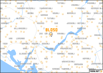
Bloso (Grand Bassa, Liberia)Bloso is a town in the Grand Bassa region of Liberia. An overview map of the region around Bloso is displayed below.
regional and 3d topo map of Bloso, Liberia ::
Bloso airports ::
The nearest airport is ROB - Monrovia Roberts Intl, located 49.1 km north west of Bloso.
Other airports nearby include MLW - Monrovia Spriggs Payne (92.1 km west), Nearby towns ::
Bonwein (0.7km north west) //
Gbi (1.8km west) //
Sayekohn (1.9km north) //
Bonkalo (2.2km south east) //
Jimmybli (2.6km south west) //
Zayo (2.6km north west) //
Bayobli (2.6km north east) //
Juwah Town (2.8km north) //
Zazohn (3.6km east) //
Zee (3.7km west) //
Kakabli (3.7km east) //
Sodebli (4.1km south west) //
Gue (4.1km north east) //
Zianzoegar (4.4km south west) //
Buabli (5.2km south east) //
Reeves (5.2km north west) //
Harrisville (2) (5.3km north west) //
Walker Town (5.4km north west) //
Alfabli (5.4km south west) //
Glenbli (5.6km south) //
Tutubli (5.6km north) //
Greenbli (5.8km east) //
Brownbli (5.9km north) //
Blalabli (5.9km south) //
Hartford (2) (5.8km west) //
Fortsville (6.1km west) //
Zoblum (6.2km south) //
Puebabli (6.7km south east) //
Pamobli (6.7km south east) //
[all distances 'as the bird flies' and approximate] 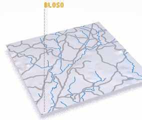 Places with similar names to Bloso, Liberia ::
Disclaimer :: Information on this page comes without warranty of any kind |
||
|
Where is Bloso? Elevation and coordinates ::
Latitude (lat): 6°2'0"N Longitude (lon): 9°58'0"W
Elevation (approx.): 70m (map arrows pan, magnifying glasses zoom) |
||
|
Visiting Bloso? Hotel/Accommodation ::
Book a hotel in Bloso Travel Guide ::
Buy a travel guide for Liberia rental cars ::
car rental offers GPS waypoint ::
download a GPX waypoint (PoI) of Bloso for your GPS receiver
|
||