|
search place name
|
||
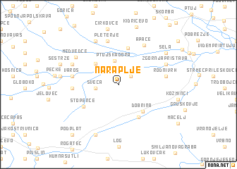
Naraplje (Cankova-Tišina, Slovenia)Naraplje is a town in the Cankova-Tišina region of Slovenia. An overview map of the region around Naraplje is displayed below.
regional and 3d topo map of Naraplje, Slovenia ::
Naraplje airports ::
The nearest airport is MBX - Maribor, located 18.7 km north of Naraplje.
Other airports nearby include ZAG - Zagreb (68.4 km south), GRZ - Graz (78.5 km north), LJU - Ljubliana Ljubljana (101.5 km west), KLU - Klagenfurt (Worthersee Intl) (115.4 km west), Nearby towns ::
Janški Vrh (1.9km north east) //
Sveča (2.6km west) //
Ptujska Gora (3.8km north) //
Breg (3.0km north west) //
Majšperk (4.2km north west) //
Dobrina (5.0km south east) //
Lovrenc na Dravskem Polju (5.9km north) //
Žetale (5.6km south) //
Stoperce (5.2km south west) //
Pleterje (7.0km north) //
Apače (6.8km north east) //
Dežno pri Makolah (5.1km west) //
Varoš (5.3km west) //
Dežno pri Podlehniku (5.3km east) //
Rodni Vrh (5.3km east) //
Mihovce (7.3km north) //
Medvedce (6.4km north west) //
Savinsko (6.0km north west) //
Zgornja Pristava (6.0km north east) //
Donačka Gora (8.3km south) //
Cirkovce (8.8km north) //
Sela (7.2km north east) //
Podplat (9.4km south west) //
[all distances 'as the bird flies' and approximate] 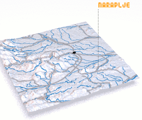 Places with similar names to Naraplje, Slovenia :: Disclaimer :: Information on this page comes without warranty of any kind |
||
|
Where is Naraplje? Elevation and coordinates ::
Latitude (lat): 46°19'17"N Longitude (lon): 15°45'59"E
Elevation (approx.): 259m (map arrows pan, magnifying glasses zoom) |
||
|
Visiting Naraplje? Hotel/Accommodation ::
Book a hotel in Naraplje Travel Guide ::
Buy a travel guide for Slovenia rental cars ::
car rental offers GPS waypoint ::
download a GPX waypoint (PoI) of Naraplje for your GPS receiver
|
||