|
search place name
|
||
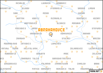
Abrahamovce (Slovakia)Abrahamovce is a town in Slovakia. An overview map of the region around Abrahamovce is displayed below.
regional and 3d topo map of Abrahamovce, Slovakia ::
Abrahamovce airports ::
The nearest airport is KSC - Kosice, located 56.6 km south of Abrahamovce.
Other airports nearby include TAT - Poprad Tatry (81.6 km west), RZE - Rzeszow Jasionka (115.5 km north east), KRK - Krakow Balice (151.8 km north west), DEB - Debrecen (187.6 km south), Nearby towns ::
Tročany (2.2km north west) //
Buclovany (2.2km south east) //
Nižné Raslavice (2.2km south west) //
Kochanovce (3.1km north east) //
Vyšné Raslavice (3.1km south west) //
Lopúchov (3.9km south) //
Oľšavce (4.4km north east) //
Koprivnica (3.6km east) //
Vaniškovce (3.6km west) //
Janovce (4.1km north west) //
Nižná Voľa (5.7km north) //
Stuľany (4.1km south east) //
Rešov (7.5km north) //
Harhaj (5.2km east) //
Kobyly (6.6km north west) //
Demjata (7.8km south) //
Hankovce (6.1km north east) //
Bartošovce (6.1km north west) //
Proč (8.3km south east) //
Dukovce (7.4km south east) //
Veľký Slivník (7.4km south west) //
[all distances 'as the bird flies' and approximate] 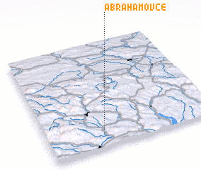 Places with similar names to Abrahamovce, Slovakia ::
// Abrahamovce (SK)
Disclaimer :: Information on this page comes without warranty of any kind |
||
|
Where is Abrahamovce? Elevation and coordinates ::
Latitude (lat): 49°10'0"N Longitude (lon): 21°21'0"E
Elevation (approx.): 334m (map arrows pan, magnifying glasses zoom) |
||
|
Visiting Abrahamovce? Hotel/Accommodation ::
Book a hotel in Abrahamovce Travel Guide ::
Buy a travel guide for Slovakia rental cars ::
car rental offers GPS waypoint ::
download a GPX waypoint (PoI) of Abrahamovce for your GPS receiver
|
||