|
search place name
|
||
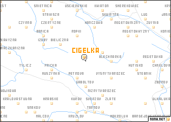
Cigelka (Slovakia)Cigelka is a town in Slovakia. An overview map of the region around Cigelka is displayed below.
regional and 3d topo map of Cigelka, Slovakia ::
Cigelka airports ::
The nearest airport is TAT - Poprad Tatry, located 76.4 km south west of Cigelka.
Other airports nearby include KSC - Kosice (84.1 km south), RZE - Rzeszow Jasionka (99.3 km north east), KRK - Krakow Balice (122.8 km north west), DEB - Debrecen (217.1 km south), Nearby towns ::
Wysowa (3.0km north east) //
Petrova (3.9km south) //
Gaboltov (5.6km south) //
Blechnarka (3.6km east) //
Ropki (5.7km north) //
Bieliczna (5.2km north west) //
Vyšný Tvarožec (5.2km south east) //
Hańczowa (7.5km north) //
Frička (5.2km west) //
Nižný Tvarožec (7.8km south) //
Muszynka (6.1km south west) //
Czertyżne (8.8km north west) //
[all distances 'as the bird flies' and approximate] 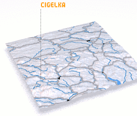
Disclaimer :: Information on this page comes without warranty of any kind |
||
|
Where is Cigelka? Elevation and coordinates ::
Latitude (lat): 49°25'0"N Longitude (lon): 21°9'0"E
Elevation (approx.): 589m (map arrows pan, magnifying glasses zoom) |
||
|
Visiting Cigelka? Hotel/Accommodation ::
Book a hotel in Cigelka Travel Guide ::
Buy a travel guide for Slovakia rental cars ::
car rental offers GPS waypoint ::
download a GPX waypoint (PoI) of Cigelka for your GPS receiver
|
||