|
search place name
|
||
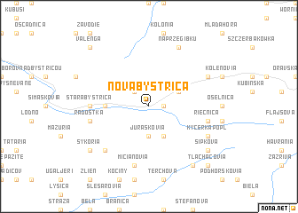
Nová Bystrica (Slovakia)Nová Bystrica is a town in Slovakia. An overview map of the region around Nová Bystrica is displayed below.
regional and 3d topo map of Nová Bystrica, Slovakia ::
Nová Bystrica airports ::
The nearest airport is OSR - Ostrava Mosnov, located 76.0 km north west of Nová Bystrica.
Other airports nearby include SLD - Sliac (79.7 km south), TAT - Poprad Tatry (94.4 km east), KRK - Krakow Balice (98.1 km north east), PRV - Prerov (117.3 km west), Nearby towns ::
Jančuly (1.2km east) //
Veľký Potok (2.2km north west) //
Juráškovia (3.7km south) //
Horná Tižina (3.9km south) //
Stukove (3.0km north east) //
Kašubove (3.0km north east) //
Ondrejkov (3.6km west) //
Stará Bystrica (4.8km west) //
Riečnica (5.2km east) //
Mičianovia (7.5km south) //
Radôstka (5.2km west) //
Lutiše (6.6km south west) //
Chmura (6.1km north east) //
Kýčerkapopl (6.1km south east) //
Na Przegibku (7.8km north) //
Šipkova (7.4km south east) //
Hajašovia (8.3km south east) //
Sykoria (7.4km south west) //
Tlachačovia (8.8km south east) //
Valenga (8.8km north west) //
[all distances 'as the bird flies' and approximate] 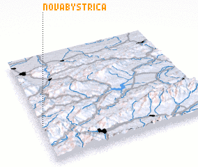 Places with similar names to Nová Bystrica, Slovakia :: Disclaimer :: Information on this page comes without warranty of any kind |
||
|
Where is Nová Bystrica? Elevation and coordinates ::
Latitude (lat): 49°21'0"N Longitude (lon): 19°1'0"E
Elevation (approx.): 593m (map arrows pan, magnifying glasses zoom) |
||
|
Visiting Nová Bystrica? Hotel/Accommodation ::
Book a hotel in Nová Bystrica Travel Guide ::
Buy a travel guide for Slovakia rental cars ::
car rental offers GPS waypoint ::
download a GPX waypoint (PoI) of Nová Bystrica for your GPS receiver
|
||