|
search place name
|
||
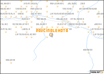
Pavčina Lehota (Slovakia)Pavčina Lehota is a town in Slovakia. An overview map of the region around Pavčina Lehota is displayed below.
regional and 3d topo map of Pavčina Lehota, Slovakia ::
Pavčina Lehota airports ::
The nearest airport is TAT - Poprad Tatry, located 49.5 km east of Pavčina Lehota.
Other airports nearby include SLD - Sliac (54.2 km south west), KRK - Krakow Balice (117.2 km north), OSR - Ostrava Mosnov (128.9 km north west), KSC - Kosice (129.6 km east), Nearby towns ::
Lazisko (1.2km west) //
Benice (3.7km north) //
Demänová (3.9km north) //
Bodice (3.9km north) //
Andice (3.9km north) //
Svätý Kríž (3.1km north west) //
Ploštín (4.4km north east) //
Galovany (4.4km north west) //
Ilianovo (4.1km north east) //
Palúdzka (6.1km north east) //
Paludza (6.1km north west) //
Vyšné Ráztoky (7.4km north) //
Čemice (7.4km north) //
Dúbrava (4.9km west) //
Nižné Ráztoky (7.5km north) //
Liptovský Mikuláš (6.6km north east) //
Vrbica (6.6km north east) //
Liptovská Ondrašová (7.8km north) //
Gôtovany (6.1km north west) //
Fiačice (6.1km north west) //
Sokolče (7.4km north west) //
Dechtáre (8.3km north west) //
Liptovská Mara (8.9km north west) //
[all distances 'as the bird flies' and approximate] 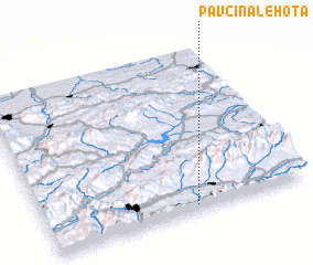 Places with similar names to Pavčina Lehota, Slovakia :: Disclaimer :: Information on this page comes without warranty of any kind |
||
|
Where is Pavčina Lehota? Elevation and coordinates ::
Latitude (lat): 49°2'0"N Longitude (lon): 19°34'0"E
Elevation (approx.): 705m (map arrows pan, magnifying glasses zoom) |
||
|
Visiting Pavčina Lehota? Hotel/Accommodation ::
Book a hotel in Pavčina Lehota Travel Guide ::
Buy a travel guide for Slovakia rental cars ::
car rental offers GPS waypoint ::
download a GPX waypoint (PoI) of Pavčina Lehota for your GPS receiver
|
||