|
search place name
|
||
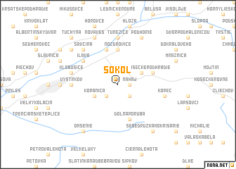
Sokol (Slovakia)Sokol is a town in Slovakia. An overview map of the region around Sokol is displayed below.
regional and 3d topo map of Sokol, Slovakia ::
Sokol airports ::
The nearest airport is PZY - Piestany, located 50.6 km south west of Sokol.
Other airports nearby include SLD - Sliac (72.4 km south east), PRV - Prerov (81.9 km north west), OSR - Ostrava Mosnov (82.1 km north), BRQ - Turany (117.9 km west), Nearby towns ::
Na Háj (1.2km east) //
Malé Košecké Podhradie (1.2km east) //
Ilávka (2.2km south west) //
Horná Poruba (2.2km south east) //
Kopanica (3.1km south west) //
Veľké Košecké Podhradie (3.1km north east) //
Nozdrovice (5.6km north) //
Lazík (4.1km north east) //
Košeca (5.7km north) //
Dolná Poruba (5.7km south) //
Ilava (5.2km north west) //
Vystrkov (4.9km west) //
Ladce (7.4km north) //
Tunežice (7.4km north) //
Klobušice (5.2km west) //
Kopec (5.2km east) //
Savčina (6.6km north west) //
Dulov (7.8km north) //
Nová Ves (7.8km north) //
Podhorie (7.8km north) //
Podvažie (7.4km north west) //
Omšenie (8.3km south west) //
Sebedruzka Mokrišarie (8.3km south east) //
Tuchyňa (8.9km north west) //
Pruské (8.9km north west) //
[all distances 'as the bird flies' and approximate] 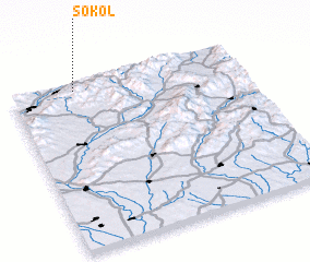 Places with similar names to Sokol, Slovakia ::
Disclaimer :: Information on this page comes without warranty of any kind |
||
|
Where is Sokol? Elevation and coordinates ::
Latitude (lat): 48°58'0"N Longitude (lon): 18°17'0"E
Elevation (approx.): 348m (map arrows pan, magnifying glasses zoom) |
||
|
Visiting Sokol? Hotel/Accommodation ::
Book a hotel in Sokol Travel Guide ::
Buy a travel guide for Slovakia rental cars ::
car rental offers GPS waypoint ::
download a GPX waypoint (PoI) of Sokol for your GPS receiver
|
||