|
search place name
|
||
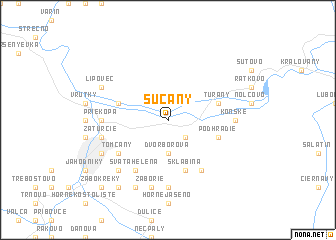
Sučany (Slovakia)Sučany is a town in Slovakia. An overview map of the region around Sučany is displayed below.
regional and 3d topo map of Sučany, Slovakia ::
Sučany airports ::
The nearest airport is SLD - Sliac, located 52.3 km south of Sučany.
Other airports nearby include TAT - Poprad Tatry (90.7 km east), OSR - Ostrava Mosnov (92.5 km north west), PZY - Piestany (100.9 km south west), PRV - Prerov (121.6 km west), Nearby towns ::
Štiavnička (2.2km south east) //
Dvor Borová (3.7km south) //
Podhradie (4.1km south east) //
Turčianske Kľačany (4.1km north west) //
Turany (4.1km north east) //
Sklabiňa (5.7km south) //
Tomčany (5.2km south west) //
Diaková (6.1km south west) //
Dolný Kalník (6.1km south west) //
Dražkovce (6.1km south west) //
Sklabinský Podzámok (6.1km south east) //
Svätá Helena (6.1km south west) //
Konské (4.9km east) //
Dolné Jaseno (7.4km south) //
Priekopa (4.9km west) //
Záborie (7.5km south) //
Záturčie (5.2km west) //
Košúty (5.2km west) //
Ivančiná (6.6km south west) //
Lipovec (6.1km north west) //
Horný Kalník (7.8km south) //
Martin (6.1km south west) //
Dolina (8.3km south west) //
Žabokreky (8.9km south west) //
[all distances 'as the bird flies' and approximate] 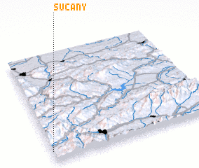 Places with similar names to Sučany, Slovakia ::
Disclaimer :: Information on this page comes without warranty of any kind |
||
|
Where is Sučany? Elevation and coordinates ::
Latitude (lat): 49°6'0"N Longitude (lon): 19°0'0"E
Elevation (approx.): 393m (map arrows pan, magnifying glasses zoom) |
||
|
Visiting Sučany? Hotel/Accommodation ::
Book a hotel in Sučany Travel Guide ::
Buy a travel guide for Slovakia rental cars ::
car rental offers GPS waypoint ::
download a GPX waypoint (PoI) of Sučany for your GPS receiver
|
||