|
search place name
|
||
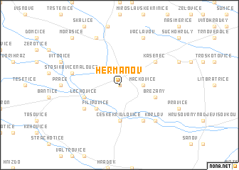
Heřmanov (Czech Republic)Heřmanov is a town in Czech Republic. An overview map of the region around Heřmanov is displayed below.
regional and 3d topo map of Heřmanov, Czech Republic ::
Heřmanov airports ::
The nearest airport is BRQ - Turany, located 42.3 km north east of Heřmanov.
Other airports nearby include VIE - Vienna Schwechat (88.5 km south), PRV - Prerov (101.6 km north east), BTS - Bratislava M R Stefanik (104.9 km south east), PZY - Piestany (117.2 km east), Nearby towns ::
Čejkovice (0.0km north) //
Mackovice (2.4km east) //
Oleksovice (3.1km north west) //
Mšice (3.1km north west) //
Filipovice (4.4km south west) //
Božice (5.6km south) //
České Křídlovice (5.6km south) //
Lechovice (4.1km south west) //
Břežany (4.1km south east) //
Borotice (5.2km south west) //
Hoja (6.1km south east) //
Kašenec (5.2km north east) //
Stošíkovice na Louce (5.2km west) //
Karlov (6.7km south east) //
Hostěradice (7.8km north) //
Chlupice (7.8km north) //
Václavov (7.8km north) //
Miroslav (7.8km north) //
Morašice (8.9km north west) //
[all distances 'as the bird flies' and approximate] 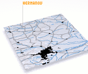 Places with similar names to Heřmanov, Czech Republic ::
Disclaimer :: Information on this page comes without warranty of any kind |
||
|
Where is Heřmanov? Elevation and coordinates ::
Latitude (lat): 48°53'0"N Longitude (lon): 16°17'0"E
Elevation (approx.): 232m (map arrows pan, magnifying glasses zoom) |
||
|
Visiting Heřmanov? Hotel/Accommodation ::
Book a hotel in Heřmanov Travel Guide ::
rental cars ::
car rental offers GPS waypoint ::
download a GPX waypoint (PoI) of Heřmanov for your GPS receiver
|
||