|
search place name
|
||
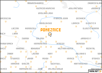
Pomeznice (Czech Republic)Pomeznice is a town in Czech Republic. An overview map of the region around Pomeznice is displayed below.
regional and 3d topo map of Pomeznice, Czech Republic ::
Pomeznice airports ::
The nearest airport is WRO - Wroclaw Strachowice, located 67.4 km north east of Pomeznice.
Other airports nearby include PED - Pardubice (79.6 km south west), BBJ - Bautzen (135.9 km north west), PRG - Prague Ruzyne (154.2 km south west), PRV - Prerov (159.3 km south east), Nearby towns ::
Vižňov (1.2km west) //
Starostín (2.2km south west) //
Ruprechtice (2.2km south east) //
Meziměstí (3.7km south) //
Březová (3.9km south) //
Golińsk (3.0km south west) //
Sokołowsko (3.9km north) //
Vernéřovice (4.4km south west) //
Hynčice (4.4km south east) //
Jetřichov (5.7km south) //
Rybnica Leśna (6.0km north east) //
Hony (7.4km south) //
Unisław Śląski (7.5km north) //
Mieroszów (5.1km west) //
Bohdašín (6.6km south west) //
Hejtmánkovice (6.6km south east) //
Nový Dvŭr (6.6km south west) //
Teplice nad Metují (7.3km south west) //
Lachov (8.2km south west) //
[all distances 'as the bird flies' and approximate] 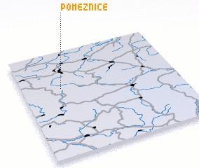 Places with similar names to Pomeznice, Czech Republic :: Disclaimer :: Information on this page comes without warranty of any kind |
||
|
Where is Pomeznice? Elevation and coordinates ::
Latitude (lat): 50°39'0"N Longitude (lon): 16°15'0"E
Elevation (approx.): 501m (map arrows pan, magnifying glasses zoom) |
||
|
Visiting Pomeznice? Hotel/Accommodation ::
Book a hotel in Pomeznice Travel Guide ::
rental cars ::
car rental offers GPS waypoint ::
download a GPX waypoint (PoI) of Pomeznice for your GPS receiver
|
||