|
search place name
|
||
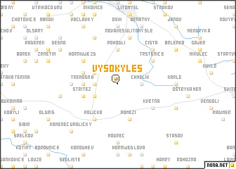
Vysoký Les (Czech Republic)Vysoký Les is a town in Czech Republic. An overview map of the region around Vysoký Les is displayed below.
regional and 3d topo map of Vysoký Les, Czech Republic ::
Vysoký Les airports ::
The nearest airport is PED - Pardubice, located 48.8 km north west of Vysoký Les.
Other airports nearby include BRQ - Turany (74.2 km south east), PRV - Prerov (88.4 km south east), OSR - Ostrava Mosnov (130.8 km east), WRO - Wroclaw Strachowice (154.3 km north), Nearby towns ::
Chmelík (2.4km east) //
Pohora (2.4km west) //
Kaliště (3.0km north west) //
Haná (3.0km south west) //
Lezník (3.0km south west) //
Pohodlí (5.6km north) //
Třemošná (3.6km west) //
Sebranice (4.0km north west) //
Střítež (4.0km south west) //
Pomezí (5.7km south) //
Trstěnice (5.2km north east) //
Horní Újezd (5.2km north west) //
Polička (6.1km south west) //
Květná (5.2km south east) //
Lubná (4.8km west) //
Nová Ves u Litomyšle (7.5km north) //
Čistá (6.6km north east) //
Dolní Újezd (7.8km north) //
Sádek (8.8km south west) //
Kamenec u Poličky (8.8km south west) //
[all distances 'as the bird flies' and approximate] 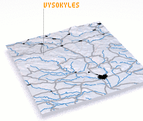 Places with similar names to Vysoký Les, Czech Republic ::
// Vescles (FR)
Disclaimer :: Information on this page comes without warranty of any kind |
||
|
Where is Vysoký Les? Elevation and coordinates ::
Latitude (lat): 49°46'0"N Longitude (lon): 16°18'0"E
Elevation (approx.): 509m (map arrows pan, magnifying glasses zoom) |
||
|
Visiting Vysoký Les? Hotel/Accommodation ::
Book a hotel in Vysoký Les Travel Guide ::
rental cars ::
car rental offers GPS waypoint ::
download a GPX waypoint (PoI) of Vysoký Les for your GPS receiver
|
||